Volcanic Ash Advisory
Ibu
Sun, 15 Mar 2026 23:50:00 GMT
Raw Output
FVAU01 at 23:43 UTC, 15/03/26 from ADRM
VA ADVISORY
DTG: 20260315/2350Z
VAAC: DARWIN
VOLCANO: IBU 268030
PSN: N0129 E12738
AREA: INDONESIA
SOURCE ELEV: 1325M AMSL
ADVISORY NR: 2026/304
INFO SOURCE: CVGHM, HIMAWARI-9
ERUPTION DETAILS: VA TO FL070 LAST REPORTED AT 15/1620Z MOV
        NE
EST VA DTG: 15/2330Z
EST VA CLD: SFC/FL070 N0125 E12736 - N0129 E12733 - N0149
        E12743 - N0144 E12757 - N0130 E12756 MOV NE 05KT
FCST VA CLD +6 HR: 16/0530Z SFC/FL070 N0123 E12736 - N0128
        E12732 - N0150 E12742 - N0142 E12802 - N0130 E12756
FCST VA CLD +12 HR: 16/1130Z SFC/FL070 N0124 E12736 - N0127
        E12732 - N0149 E12740 - N0143 E12758 - N0128 E12800
FCST VA CLD +18 HR: 16/1730Z SFC/FL070 N0129 E12731 - N0149
        E12747 - N0140 E12802 - N0126 E12757 - N0124 E12736 - N0128
        E12731
RMK: VA UNIDENTIFIABLE ON LATEST SATELLITE IMAGERY DUE TO
        MET CLOUD. RECENT GROUND REPORTS SUGGESTS ONGOING
        INTERMITTENT ERUPTIONS. VA HEIGHT AND MOVEMENT BASED ON PAST
        SATELLITE IMAGERY, GROUND REPORTS AND MODEL GUIDANCE.
NXT ADVISORY: NO LATER THAN 20260316/0550Z=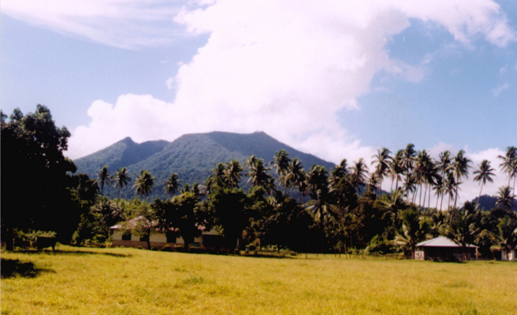
Ibu
Indonesia
Level 4
The truncated summit of Gunung Ibu stratovolcano along the NW coast of Halmahera Island has large nested summit craters. The inner crater, 1 km wide and 400 m deep, has contained several small crater lakes. The 1.2-km-wide outer crater is breached on the N, creating a steep-walled valley. A large cone grew ENE of the summit, and a smaller one to the WSW has fed a lava flow down the W flank. A group of maars is located below the N and W flanks. The first observed and recorded eruption was a small explosion from the summit crater in 1911. Eruptive activity began again in December 1998, producing a lava dome that eventually covered much of the floor of the inner summit crater along with ongoing explosive ash emissions.
View Full Volcano Details