Volcanic Ash Advisory
Ibu
Mon, 20 Jul 2026 10:30:00 GMT
Raw Output
FVAU03 at 10:28 UTC, 20/07/26 from ADRM
VA ADVISORY
DTG: 20260720/1030Z
VAAC: DARWIN
VOLCANO: IBU 268030
PSN: N0129 E12738
AREA: INDONESIA
SOURCE ELEV: 1325M AMSL
ADVISORY NR: 2026/814
INFO SOURCE: HIMAWARI-9, CVGHM
ERUPTION DETAILS: VA TO FL070 OBS AT 20/1010Z MOV NE
OBS VA DTG: 20/1010Z
OBS VA CLD: SFC/FL070 N0126 E12739 - N0129 E12734 - N0155
        E12742 - N0151 E12755 - N0139 E12800 MOV NE 10KT
FCST VA CLD +6 HR: 20/1610Z SFC/FL070 N0125 E12738 - N0130
        E12734 - N0155 E12756 - N0150 E12809 - N0136 E12810
FCST VA CLD +12 HR: 20/2210Z SFC/FL070 N0129 E12733 - N0157
        E12752 - N0156 E12806 - N0139 E12810 - N0124 E12738
FCST VA CLD +18 HR: 21/0410Z SFC/FL070 N0124 E12738 - N0127
        E12733 - N0154 E12742 - N0157 E12755 - N0145 E12800
RMK: DISCRETE VA IDENTIFIABLE ON CURRENT SAT IMG. GROUND
        REPORTS INDICATE INTERMITTENT VA ERUPTIONS ARE ONGOING. VA
        HEIGHT AND MOVEMENT BASED ON SATELLITE IMAGERY, GROUND
        REPORTS AND MODEL GUIDANCE.
NXT ADVISORY: NO LATER THAN 20260720/1630Z=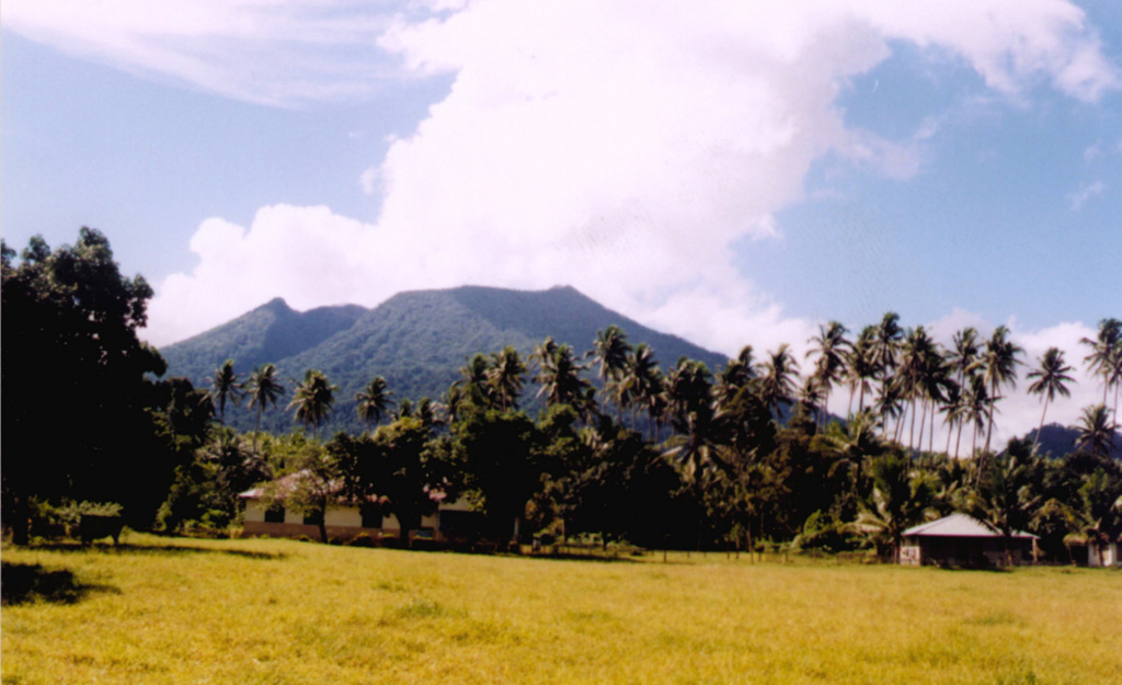
Ibu
Indonesia
Level 4
The truncated summit of Gunung Ibu stratovolcano along the NW coast of Halmahera Island has large nested summit craters. The inner crater, 1 km wide and 400 m deep, has contained several small crater lakes. The 1.2-km-wide outer crater is breached on the N, creating a steep-walled valley. A large cone grew ENE of the summit, and a smaller one to the WSW has fed a lava flow down the W flank. A group of maars is located below the N and W flanks. The first observed and recorded eruption was a small explosion from the summit crater in 1911. Eruptive activity began again in December 1998, producing a lava dome that eventually covered much of the floor of the inner summit crater along with ongoing explosive ash emissions.
View Full Volcano Details