Volcanic Ash Advisory
Ibu
Sat, 15 Aug 2026 09:50:00 GMT
Raw Output
FVAU03 at 09:45 UTC, 15/08/26 from ADRM
VA ADVISORY
DTG: 20260815/0950Z
VAAC: DARWIN
VOLCANO: IBU 268030
PSN: N0129 E12738
AREA: INDONESIA
SOURCE ELEV: 1325M AMSL
ADVISORY NR: 2026/922
INFO SOURCE: HIMAWARI-9, CVGHM
ERUPTION DETAILS: VA TO FL070 OBS AT 15/0930Z MOV NW
OBS VA DTG: 15/0930Z
OBS VA CLD: SFC/FL070 N0119 E12740 - N0141 E12659 - N0209
        E12707 - N0210 E12735 - N0128 E12749 MOV NW 05KT
FCST VA CLD +6 HR: 15/1530Z SFC/FL070 N0130 E12720 - N0201
        E12737 - N0149 E12805 - N0124 E12808 - N0106 E12752
FCST VA CLD +12 HR: 15/2130Z SFC/FL070 N0125 E12727 - N0157
        E12740 - N0149 E12805 - N0124 E12808 - N0106 E12752
FCST VA CLD +18 HR: 16/0330Z SFC/FL070 N0123 E12734 - N0131
        E12727 - N0152 E12728 - N0153 E12814 - N0123 E12823
RMK: DISCRETE VA EMISSIONS IDENTIFIABLE ON CURRENT SAT IMG.
        GROUND REPORTS INDICATE INTERMITTENT ERUPTIONS ARE ONGOING.
        VA HEIGHT AND MOVEMENT BASED ON PAST SATELLITE IMAGERY,
        GROUND REPORTS AND MODEL GUIDANCE.
NXT ADVISORY: NO LATER THAN 20260815/1550Z=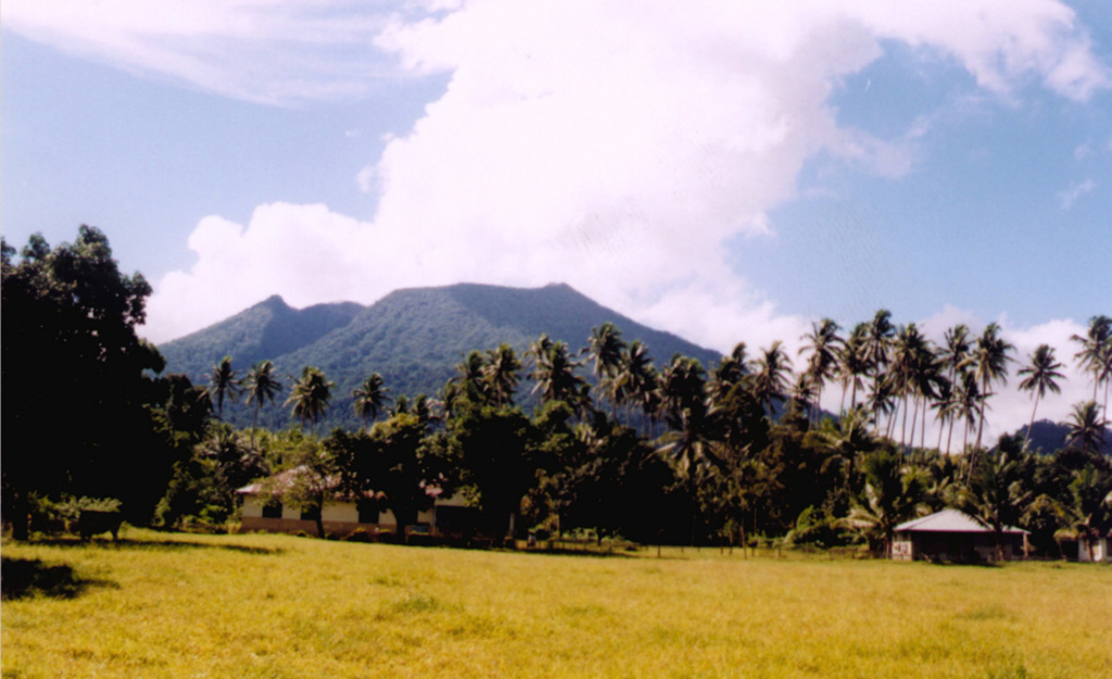
Ibu
Indonesia
Level 4
The truncated summit of Gunung Ibu stratovolcano along the NW coast of Halmahera Island has large nested summit craters. The inner crater, 1 km wide and 400 m deep, has contained several small crater lakes. The 1.2-km-wide outer crater is breached on the N, creating a steep-walled valley. A large cone grew ENE of the summit, and a smaller one to the WSW has fed a lava flow down the W flank. A group of maars is located below the N and W flanks. The first observed and recorded eruption was a small explosion from the summit crater in 1911. Eruptive activity began again in December 1998, producing a lava dome that eventually covered much of the floor of the inner summit crater along with ongoing explosive ash emissions.
View Full Volcano Details