Earthquake Seram, Indonesia
Fri, 02 Jan 2026 17:56:12 GMT
Time5 hours ago
Location
-3.2861, 130.4055
Depth
48.7 KM
Event Summary
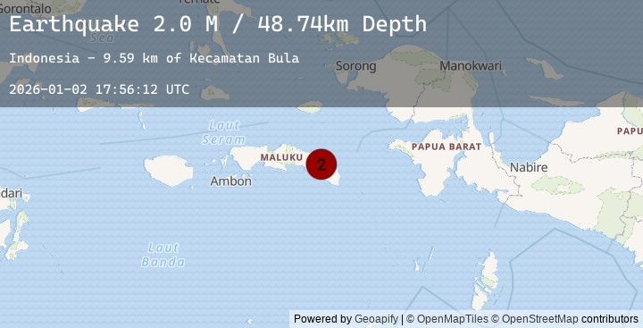
A 2.0 magnitude earthquake struck on Seram, Indonesia, at Fri, 02 Jan 2026 17:56:12 GMT. Depth: 48.737606km. Reviewed by BMKG seismologists, this minor quake occurred at a magnitude type of M.
Magnitude
2.0
M
Source
BMKG
Intensity
-
Agency Reports
1 Sources| Source | Magnitude | Depth | Time |
|---|---|---|---|
| BMKGPrimary | 2.0 | 49 km | 5 hours ago |
Earthquake Details
AutomaticEvent IDbmg2026adfa
Tsunami PotentialNo
Magnitude TypeM
Nearest Places
- Kecamatan Bula9.6 km
- Pegunungan Waelila10.1 km
- Desa Salas12.3 km
- Kabupaten Seram Bagian Timur12.6 km
- Gunung Oseil13.6 km
Comments
Join the discussion about this event.
Latest Earthquakes
2.1Mag
Bali Sea
Time5 hours ago
Depth11.11 km
SourceBMKG (Automatic)
1.8Mag
4 km ESE of San Ramon, CA
Time5 hours ago
Depth0.91 km
SourceUSGS (Automatic)
2.4Mag
Seram, Indonesia
Time5 hours ago
Depth1.89 km
SourceBMKG (Automatic)
2.8Mag
South of Sumbawa, Indonesia
Time6 hours ago
Depth10.00 km
SourceBMKG (Automatic)
2.2Mag
Minahassa Peninsula, Sulawesi
Time6 hours ago
Depth148.28 km
SourceBMKG (Automatic)
Nearby Earthquakes
No significant earthquakes nearby recently.