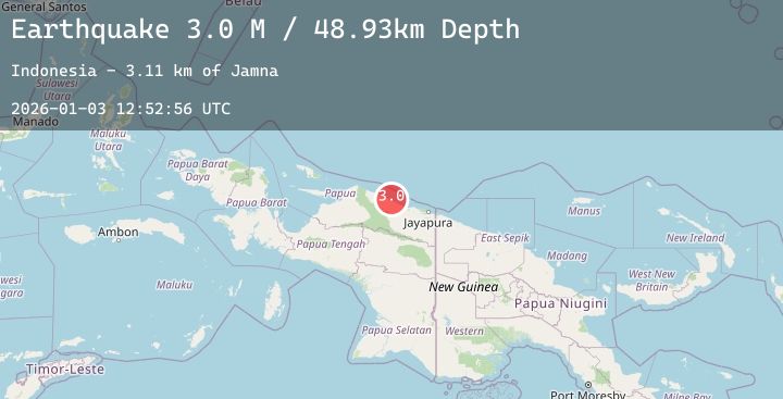
Earthquake Near North Coast of West Papua
Sat, 03 Jan 2026 12:52:54 GMT
Time3 days ago
Location
-2.2626, 139.1020
Depth
55.7 KM
Event Summary
A 2.8 magnitude earthquake struck on Near North Coast of West Papua, at Sat, 03 Jan 2026 12:52:54 GMT. Depth: 55.67321km. Reviewed by BMKG seismologists, this minor quake occurred at a magnitude type of M.
Magnitude
2.8
M
Source
BMKG
Intensity
-
Agency Reports
1 Sources| Source | Magnitude | Depth | Time |
|---|---|---|---|
| BMKGPrimary | 2.8 | 56 km | 3 days ago |
Earthquake Details
AutomaticEvent IDbmg2026aeqn
Tsunami PotentialNo
Magnitude TypeM
Nearest Places
- Distrik Pantai Timur Bagian Barat3.1 km
- Pegunungan Siduarsi4.2 km
- Gunung Siduas4.8 km
- Kabupaten Sarmi6.0 km
- Itik7.2 km
Comments
Join the discussion about this event.
Latest Earthquakes
1.0Mag
4 km W of Mira Loma, CA
Time3 days ago
Depth8.50 km
SourceUSGS (Automatic)
1.0Mag
SWITZERLAND
Time3 days ago
Depth3.00 km
SourceETHZ (Automatic)
2.0Mag
Southern Sumatra, Indonesia
Time3 days ago
Depth50.42 km
SourceBMKG (Automatic)
3.2Mag
JUJUY, ARGENTINA
Time3 days ago
Depth222.00 km
SourceNSNA (Automatic)
3.1Mag
SAN JUAN, ARGENTINA
Time3 days ago
Depth124.00 km
SourceNSNA (Automatic)