Earthquake Southern Sumatra, Indonesia
Sat, 03 Jan 2026 12:37:58 GMT
Time3 days ago
Location
-5.3797, 104.4719
Depth
50.4 KM
Event Summary
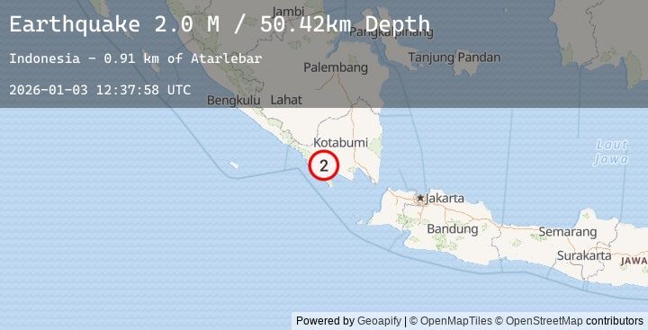
A 2.0 magnitude earthquake struck on Southern Sumatra, Indonesia, at Sat, 03 Jan 2026 12:37:58 GMT. Depth: 50.424961km. Reviewed by BMKG seismologists, this minor quake occurred at a magnitude type of M.
Magnitude
2.0
M
Source
BMKG
Intensity
-
Agency Reports
1 Sources| Source | Magnitude | Depth | Time |
|---|---|---|---|
| BMKGPrimary | 2.0 | 50 km | 3 days ago |
Earthquake Details
AutomaticEvent IDbmg2026aeqa
Tsunami PotentialNo
Magnitude TypeM
Nearest Places
- Atarlebar0.9 km
- Desa Atar Lebar1.1 km
- Waituba1.7 km
- Blok Empat2.0 km
- Telungseluang2.9 km
Comments
Join the discussion about this event.
Latest Earthquakes
2.0Mag
66 km ESE of Egegik, Alaska
Time3 days ago
Depth126.50 km
SourceUSGS (Automatic)
3.4Mag
Northern Sumatra, Indonesia
Time3 days ago
Depth40.13 km
SourceBMKG (Automatic)
1.1Mag
26 km ENE of McKinney Acres, Texas
Time3 days ago
Depth3.84 km
SourceUSGS (Automatic)
2.1Mag
FRANCE
Time3 days ago
Depth0.00 km
SourceReNaSS (Automatic)
2.0Mag
AEGEAN SEA
Time3 days ago
Depth2.70 km
SourceEMSC (Automatic)