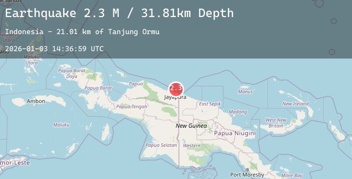
Earthquake Near North Coast of West Papua
Sat, 03 Jan 2026 14:36:59 GMT
Time5 days ago
Location
-2.2052, 140.6921
Depth
20.4 KM
Event Summary
A 2.1 magnitude earthquake struck on Near North Coast of West Papua, at Sat, 03 Jan 2026 14:36:59 GMT. Depth: 20.355656km. Reviewed by BMKG seismologists, this minor quake occurred at a magnitude type of M.
Magnitude
2.1
M
Source
BMKG
Intensity
-
Agency Reports
1 Sources| Source | Magnitude | Depth | Time |
|---|---|---|---|
| BMKGPrimary | 2.1 | 20 km | 5 days ago |
Earthquake Details
AutomaticEvent IDbmg2026aety
Tsunami PotentialNo
Magnitude TypeM
Nearest Places
- Tanjung Ormu27.7 km
- Naikoe30.1 km
- Teluk Torare30.9 km
- Kelurahan Tanjung Ria31.8 km
- Kampung Nehibe32.3 km
Comments
Join the discussion about this event.
Latest Earthquakes
1.7Mag
16 km SSE of Progreso, B.C., MX
Time5 days ago
Depth9.32 km
SourceUSGS (Automatic)
3.5Mag
AEGEAN SEA
Time5 days ago
Depth10.00 km
SourceTHE (Automatic)
2.7Mag
Flores Region, Indonesia
Time5 days ago
Depth15.53 km
SourceBMKG (Automatic)
2.1Mag
Sumbawa Region, Indonesia
Time5 days ago
Depth40.94 km
SourceBMKG (Automatic)
2.7Mag
CENTRAL CALIFORNIA
Time5 days ago
Depth1.40 km
SourceNC (Automatic)