Earthquake Northern Sumatra, Indonesia
Sat, 03 Jan 2026 20:51:33 GMT
Time4 days ago
Location
0.7207, 99.1844
Depth
3.2 KM
Event Summary
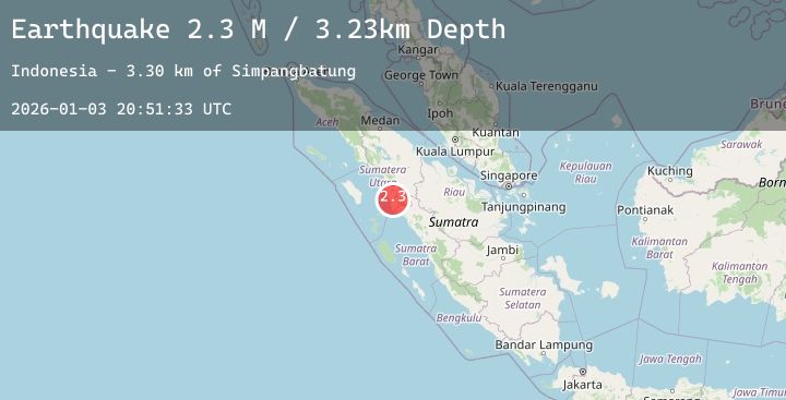
A 2.3 magnitude earthquake struck on Northern Sumatra, Indonesia, at Sat, 03 Jan 2026 20:51:33 GMT. Depth: 3.22754km. Reviewed by BMKG seismologists, this minor quake occurred at a magnitude type of M.
Magnitude
2.3
M
Source
BMKG
Intensity
-
Agency Reports
1 Sources| Source | Magnitude | Depth | Time |
|---|---|---|---|
| BMKGPrimary | 2.3 | 3 km | 4 days ago |
Earthquake Details
AutomaticEvent IDbmg2026afgh
Tsunami PotentialNo
Magnitude TypeM
Nearest Places
- Simpangbatung3.3 km
- Ujung Dolok Tangga Begu4.8 km
- Desa Simpang Koje5.9 km
- Tor Ulu Simpang Batung6.3 km
- Desa Sali Baru6.5 km
Comments
Join the discussion about this event.
Latest Earthquakes
5.3Mag
Talaud Islands, Indonesia
Time4 days ago
Depth103.27 km
SourceBMKG (Automatic)
2.0Mag
NEW MEXICO
Time4 days ago
Depth7.40 km
SourceTX (Automatic)
1.5Mag
56 km SSW of Goldfield, Nevada
Time4 days ago
Depth5.49 km
SourceUSGS (Automatic)
1.7Mag
26 km NW of Susitna, Alaska
Time4 days ago
Depth59.70 km
SourceUSGS (Automatic)
2.8Mag
COQUIMBO, CHILE
Time4 days ago
Depth28.70 km
SourceCSN (Automatic)