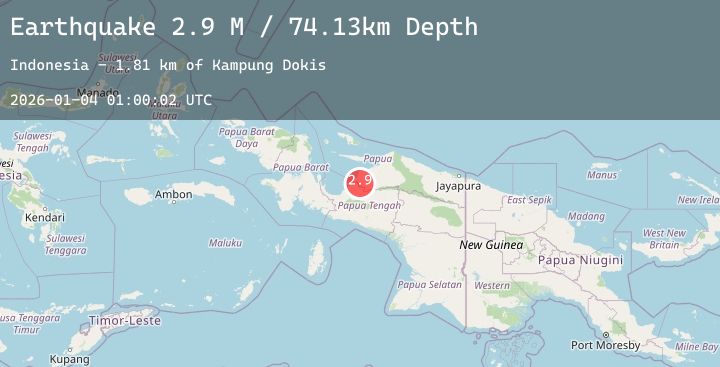
Earthquake West Papua Region, Indonesia
Sun, 04 Jan 2026 01:00:02 GMT
Time3 days ago
Location
-2.8926, 136.3782
Depth
74.1 KM
Event Summary
A 2.9 magnitude earthquake struck on West Papua Region, Indonesia, at Sun, 04 Jan 2026 01:00:02 GMT. Depth: 74.127289km. Reviewed by BMKG seismologists, this minor quake occurred at a magnitude type of M.
Magnitude
2.9
M
Source
BMKG
Intensity
-
Agency Reports
1 Sources| Source | Magnitude | Depth | Time |
|---|---|---|---|
| BMKGPrimary | 2.9 | 74 km | 3 days ago |
Earthquake Details
AutomaticEvent IDbmg2026afom
Tsunami PotentialNo
Magnitude TypeM
Nearest Places
- Kampung Dokis1.8 km
- Kampung Kamarisano4.5 km
- Kampung Syewa Merare6.4 km
- Kampung Waweri9.5 km
- Kampung Dapiyaga10.3 km
Comments
Join the discussion about this event.
Latest Earthquakes
0.7Mag
21 km ESE of Anza, CA
Time3 days ago
Depth15.26 km
SourceUSGS (Automatic)
3.2Mag
SOUTHERN GREECE
Time3 days ago
Depth5.00 km
SourceNOA (Automatic)
2.4Mag
West Papua, Indonesia
Time3 days ago
Depth10.00 km
SourceBMKG (Automatic)
3.0Mag
Bali Sea
Time3 days ago
Depth10.00 km
SourceBMKG (Automatic)
2.7Mag
GUATEMALA
Time3 days ago
Depth33.00 km
SourceINET (Automatic)