Earthquake West Papua Region, Indonesia
Sun, 04 Jan 2026 03:19:06 GMT
Time3 days ago
Location
-3.4396, 135.5859
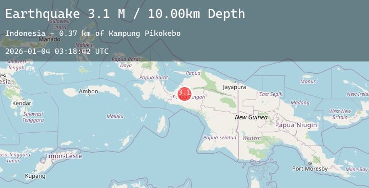
Depth
10.0 KM
Event Summary
A 2.7 magnitude earthquake struck on West Papua Region, Indonesia, at Sun, 04 Jan 2026 03:19:06 GMT. Depth: 10km. Reviewed by BMKG seismologists, this minor quake occurred at a magnitude type of M.
Magnitude
2.7
M
Source
BMKG
Intensity
-
Agency Reports
1 Sources| Source | Magnitude | Depth | Time |
|---|---|---|---|
| BMKGPrimary | 2.7 | 10 km | 3 days ago |
Earthquake Details
AutomaticEvent IDbmg2026aftc
Tsunami PotentialNo
Magnitude TypeM
Nearest Places
- Kampung Topo2.5 km
- Kampung Marga Jaya6.7 km
- Kampung Kali Harapan7.1 km
- Kelurahan Girimulyo7.2 km
- Kampung Argo Mulyo7.6 km
Comments
Join the discussion about this event.
Latest Earthquakes
2.0Mag
85 km N of Yakutat, Alaska
Time3 days ago
Depth1.50 km
SourceUSGS (Automatic)
1.1Mag
9 km NW of The Geysers, CA
Time3 days ago
Depth11.99 km
SourceUSGS (Automatic)
2.7Mag
MEGHALAYA, INDIA REGION
Time3 days ago
Depth10.00 km
SourceNDI (Automatic)
0.9Mag
2 km ENE of Colton, CA
Time3 days ago
Depth11.84 km
SourceUSGS (Automatic)
1.0Mag
17 km WSW of Johannesburg, CA
Time3 days ago
Depth7.73 km
SourceUSGS (Automatic)
Nearby Earthquakes
3.5Mag
West Papua Region, Indonesia
Time3 days ago
Depth15.61 km
SourceBMKG (Automatic)
2.7Mag
West Papua Region, Indonesia
Time3 days ago
Depth17.67 km
SourceBMKG (Automatic)
3.7Mag
West Papua Region, Indonesia
Time3 days ago
Depth10.00 km
SourceBMKG (Automatic)
2.8Mag
West Papua Region, Indonesia
Time4 days ago
Depth10.00 km
SourceBMKG (Automatic)