Earthquake 85 km N of Yakutat, Alaska
Sun, 04 Jan 2026 03:13:44 GMT
Time3 days ago
Location
60.3090, -139.9710
Depth
1.5 KM
Event Summary
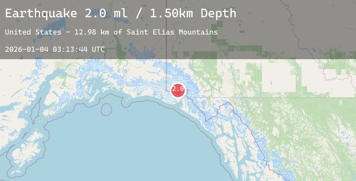
A 2.0 magnitude earthquake struck on 85 km N of Yakutat, Alaska, at Sun, 04 Jan 2026 03:13:44 GMT. Depth: 1.5km. Reviewed by USGS seismologists, this minor quake occurred at a magnitude type of ml.
Magnitude
2.0
ml
Source
USGS
Intensity
-
Agency Reports
1 Sources| Source | Magnitude | Depth | Time |
|---|---|---|---|
| USGSPrimary | 2.0 | 2 km | 3 days ago |
Earthquake Details
AutomaticEvent IDusgs_ak2026aftppn
Tsunami PotentialNo
Magnitude Typeml
Nearest Places
- Saint Elias Mountains13.0 km
- Mount Cook14.1 km
- Mount Cook14.2 km
- Mount Vancouver16.0 km
- Corwin Cliffs17.5 km
Comments
Join the discussion about this event.
Latest Earthquakes
1.1Mag
9 km NW of The Geysers, CA
Time3 days ago
Depth11.99 km
SourceUSGS (Automatic)
2.7Mag
MEGHALAYA, INDIA REGION
Time3 days ago
Depth10.00 km
SourceNDI (Automatic)
0.9Mag
2 km ENE of Colton, CA
Time3 days ago
Depth11.84 km
SourceUSGS (Automatic)
1.0Mag
17 km WSW of Johannesburg, CA
Time3 days ago
Depth7.73 km
SourceUSGS (Automatic)
1.8Mag
13 km SSE of Volcano, Hawaii
Time3 days ago
Depth2.29 km
SourceUSGS (Automatic)
Nearby Earthquakes
1.8Mag
121 km NW of Yakutat, Alaska
Time3 days ago
Depth12.10 km
SourceUSGS (Automatic)
1.9Mag
115 km WNW of Yakutat, Alaska
Time3 days ago
Depth5.00 km
SourceUSGS (Automatic)
1.6Mag
114 km NW of Yakutat, Alaska
Time3 days ago
Depth15.30 km
SourceUSGS (Automatic)
1.9Mag
90 km NW of Yakutat, Alaska
Time3 days ago
Depth17.80 km
SourceUSGS (Automatic)
1.7Mag
77 km NW of Yakutat, Alaska
Time3 days ago
Depth18.60 km
SourceUSGS (Automatic)