Earthquake Southern Sumatra, Indonesia
Wed, 07 Jan 2026 02:19:25 GMT
Time3 days ago
Location
-5.2575, 104.0477
Depth
78.3 KM
Event Summary
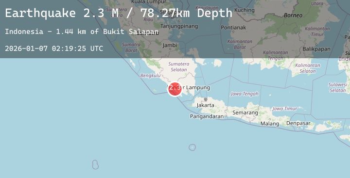
A 2.3 magnitude earthquake struck on Southern Sumatra, Indonesia, at Wed, 07 Jan 2026 02:19:25 GMT. Depth: 78.273254km. Reviewed by BMKG seismologists, this minor quake occurred at a magnitude type of M.
Magnitude
2.3
M
Source
BMKG
Intensity
-
Agency Reports
1 Sources| Source | Magnitude | Depth | Time |
|---|---|---|---|
| BMKGPrimary | 2.3 | 78 km | 3 days ago |
Earthquake Details
AutomaticEvent IDbmg2026aldq
Tsunami PotentialNo
Magnitude TypeM
Nearest Places
- Bukit Salapan1.4 km
- Wai Pius2.7 km
- Desa Pelita Jaya3.2 km
- Desa Sumur Jaya4.3 km
- Desa Pagar Dalam4.3 km
Comments
Join the discussion about this event.
Latest Earthquakes
3.1Mag
Near North Coast of West Papua
Time3 days ago
Depth46.82 km
SourceBMKG (Automatic)
2.7Mag
ATACAMA, CHILE
Time3 days ago
Depth32.10 km
SourceCSN (Automatic)
3.7Mag
NEAR COAST OF NORTHERN PERU
Time3 days ago
Depth71.00 km
SourceLIM (Automatic)
2.3Mag
AEGEAN SEA
Time3 days ago
Depth11.60 km
SourceAFAD (Automatic)
2.1Mag
Flores Region, Indonesia
Time3 days ago
Depth112.63 km
SourceBMKG (Automatic)
Nearby Earthquakes
No significant earthquakes nearby recently.