Earthquake Bali Region, Indonesia
Thu, 08 Jan 2026 02:40:18 GMT
Time1 day ago
Location
-8.4450, 115.7985
Depth
28.8 KM
Event Summary
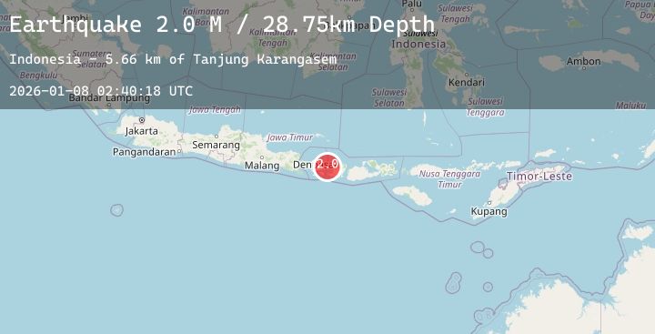
A 2.0 magnitude earthquake struck on Bali Region, Indonesia, at Thu, 08 Jan 2026 02:40:18 GMT. Depth: 28.753294km. Reviewed by BMKG seismologists, this minor quake occurred at a magnitude type of M.
Magnitude
2.0
M
Source
BMKG
Intensity
-
Agency Reports
1 Sources| Source | Magnitude | Depth | Time |
|---|---|---|---|
| BMKGPrimary | 2.0 | 29 km | 1 day ago |
Earthquake Details
AutomaticEvent IDbmg2026amzv
Tsunami PotentialNo
Magnitude TypeM
Nearest Places
- Tanjung Karangasem7.3 km
- Selat Lombok8.3 km
- Gili Selang10.8 km
- Tukad Batumanak11.2 km
- Tanahbarak11.2 km
Comments
Join the discussion about this event.
Latest Earthquakes
1.5Mag
4 km E of Yucaipa, CA
Time1 day ago
Depth12.95 km
SourceUSGS (Automatic)
1.7Mag
21 km SSE of Pāhala, Hawaii
Time1 day ago
Depth34.06 km
SourceUSGS (Automatic)
2.1Mag
NORTHERN CALIFORNIA
Time1 day ago
Depth4.10 km
SourceNC (Automatic)
1.2Mag
16 km ESE of Julian, CA
Time1 day ago
Depth5.90 km
SourceUSGS (Automatic)
2.1Mag
34 km SE of Glacier View, Alaska
Time1 day ago
Depth20.30 km
SourceUSGS (Automatic)
Nearby Earthquakes
2.0Mag
Bali Region, Indonesia
Time1 day ago
Depth10.00 km
SourceBMKG (Automatic)
2.4Mag
Bali Region, Indonesia
Time2 days ago
Depth10.00 km
SourceBMKG (Automatic)
2.2Mag
Bali Region, Indonesia
Time2 days ago
Depth27.97 km
SourceBMKG (Automatic)
2.3Mag
Bali Region, Indonesia
Time2 days ago
Depth35.49 km
SourceBMKG (Automatic)
2.2Mag
Bali Region, Indonesia
Time2 days ago
Depth34.37 km
SourceBMKG (Automatic)