Earthquake Northern Molucca Sea
Mon, 12 Jan 2026 15:54:00 GMT
Time6 hours ago
Location
0.7882, 125.8746
Depth
8.8 KM
Event Summary
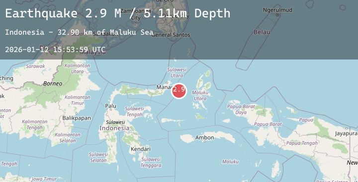
A 2.9 magnitude earthquake struck on Northern Molucca Sea, at Mon, 12 Jan 2026 15:54:00 GMT. Depth: 8.750256km. Reviewed by BMKG seismologists, this minor quake occurred at a magnitude type of M.
Magnitude
2.9
M
Source
BMKG
Intensity
-
Agency Reports
1 Sources| Source | Magnitude | Depth | Time |
|---|---|---|---|
| BMKGPrimary | 2.9 | 9 km | 6 hours ago |
Earthquake Details
AutomaticEvent IDbmg2026avia
Tsunami PotentialNo
Magnitude TypeM
Nearest Places
- Maluku Sea35.0 km
- Kelurahan Pantai Sagu35.9 km
- Pulau Tifore36.1 km
- Kelurahan Tifure36.1 km
- Pulau Gureda37.5 km
Comments
Join the discussion about this event.
Latest Earthquakes
2.7Mag
Northern Sumatra, Indonesia
Time6 hours ago
Depth10.00 km
SourceBMKG (Automatic)
2.3Mag
POLAND
Time6 hours ago
Depth0.00 km
SourceIGPAS (Automatic)
1.6Mag
29 km SE of Glacier View, Alaska
Time6 hours ago
Depth27.80 km
SourceUSGS (Automatic)
3.2Mag
OFF COAST OF COSTA RICA
Time7 hours ago
Depth9.00 km
SourceUNA (Automatic)
3.0Mag
PHILIPPINE ISLANDS REGION
Time7 hours ago
Depth3.00 km
SourcePIVS (Automatic)