Earthquake Northern Sumatra, Indonesia
Mon, 12 Jan 2026 16:01:19 GMT
Time8 hours ago
Location
4.2886, 97.4184
Depth
10.0 KM
Event Summary
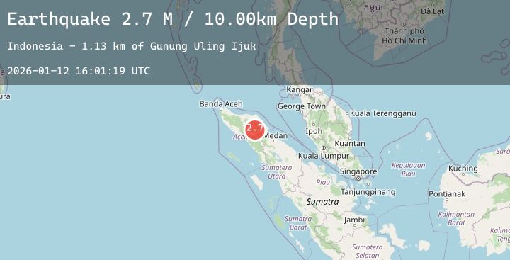
A 2.7 magnitude earthquake struck on Northern Sumatra, Indonesia, at Mon, 12 Jan 2026 16:01:19 GMT. Depth: 10km. Reviewed by BMKG seismologists, this minor quake occurred at a magnitude type of M.
Magnitude
2.7
M
Source
BMKG
Intensity
-
Agency Reports
1 Sources| Source | Magnitude | Depth | Time |
|---|---|---|---|
| BMKGPrimary | 2.7 | 10 km | 8 hours ago |
Earthquake Details
AutomaticEvent IDbmg2026avig
Tsunami PotentialNo
Magnitude TypeM
Nearest Places
- Gunung Uling Ijuk1.1 km
- Arul Salem1.7 km
- Gunung Mugajah2.1 km
- Burni Kemiri3.4 km
- Gampong Tualang3.6 km
Comments
Join the discussion about this event.
Latest Earthquakes
1.6Mag
29 km SE of Glacier View, Alaska
Time8 hours ago
Depth27.80 km
SourceUSGS (Automatic)
2.9Mag
Northern Molucca Sea
Time8 hours ago
Depth8.75 km
SourceBMKG (Automatic)
3.0Mag
PHILIPPINE ISLANDS REGION
Time8 hours ago
Depth3.00 km
SourcePIVS (Automatic)
2.8Mag
LA RIOJA, ARGENTINA
Time8 hours ago
Depth124.00 km
SourceNSNA (Automatic)
2.5Mag
Borneo
Time8 hours ago
Depth12.93 km
SourceBMKG (Automatic)