Earthquake Sumba Region, Indonesia
Mon, 12 Jan 2026 18:22:02 GMT
Time7 hours ago
Location
-9.2689, 119.0677
Depth
41.1 KM
Event Summary
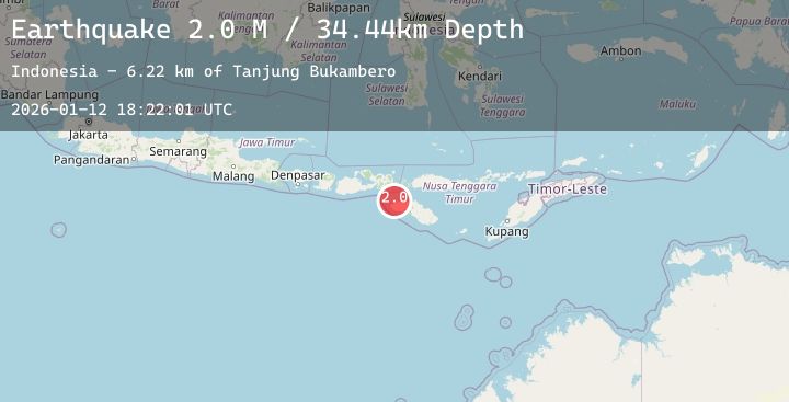
A 2.3 magnitude earthquake struck on Sumba Region, Indonesia, at Mon, 12 Jan 2026 18:22:02 GMT. Depth: 41.146847km. Reviewed by BMKG seismologists, this minor quake occurred at a magnitude type of M.
Magnitude
2.3
M
Source
BMKG
Intensity
-
Agency Reports
1 Sources| Source | Magnitude | Depth | Time |
|---|---|---|---|
| BMKGPrimary | 2.3 | 41 km | 7 hours ago |
Earthquake Details
AutomaticEvent IDbmg2026avmx
Tsunami PotentialNo
Magnitude TypeM
Nearest Places
- Tanjung Bukambero15.0 km
- Tanjung Ondedana16.8 km
- Ramuk Weewola16.9 km
- Weewola17.0 km
- Ramuk Weekelilit17.1 km
Comments
Join the discussion about this event.
Latest Earthquakes
3.2Mag
South of Sumbawa, Indonesia
Time7 hours ago
Depth10.00 km
SourceBMKG (Automatic)
1.5Mag
61 km S of Whites City, New Mexico
Time7 hours ago
Depth4.10 km
SourceUSGS (Automatic)
2.6Mag
Minahassa Peninsula, Sulawesi
Time7 hours ago
Depth23.05 km
SourceBMKG (Automatic)
2.0Mag
Banda Sea
Time7 hours ago
Depth6.06 km
SourceBMKG (Automatic)
2.5Mag
SOUTHERN CALIFORNIA
Time7 hours ago
Depth5.80 km
SourceSCSN (Automatic)