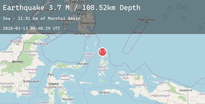
Earthquake Northern Molucca Sea
Tue, 13 Jan 2026 00:40:29 GMT
Time1 hour ago
Location
2.8926, 127.8258
Depth
111.6 KM
Event Summary
A 3.7 magnitude earthquake struck on Northern Molucca Sea, at Tue, 13 Jan 2026 00:40:29 GMT. Depth: 111.592667km. Reviewed by BMKG seismologists, this minor quake occurred at a magnitude type of M.
Magnitude
3.7
M
Source
BMKG
Intensity
-
Agency Reports
1 Sources| Source | Magnitude | Depth | Time |
|---|---|---|---|
| BMKGPrimary | 3.7 | 112 km | 1 hour ago |
Earthquake Details
AutomaticEvent IDbmg2026avzj
Tsunami PotentialNo
Magnitude TypeM
Nearest Places
- Morotai Basin22.7 km
- Pulau Karis58.0 km
- Pulau Tuanane65.3 km
- Tanjung Papaye65.4 km
- Pulau Sedeng66.1 km
Comments
Join the discussion about this event.
Latest Earthquakes
5.5Mag
KURIL ISLANDS
Time2 hours ago
Depth56.00 km
SourceEMSC (Automatic)
3.7Mag
Java, Indonesia
Time2 hours ago
Depth86.87 km
SourceBMKG (Automatic)
1.0Mag
10 km ENE of Palomar Observatory, CA
Time2 hours ago
Depth13.37 km
SourceUSGS (Automatic)
2.6Mag
Sumba Region, Indonesia
Time2 hours ago
Depth32.48 km
SourceBMKG (Automatic)
2.0Mag
100 km NNW of Yakutat, Alaska
Time2 hours ago
Depth5.00 km
SourceUSGS (Automatic)
Nearby Earthquakes
No significant earthquakes nearby recently.