Earthquake 10 km ENE of Palomar Observatory, CA
Tue, 13 Jan 2026 00:28:28 GMT
Time3 hours ago
Location
33.3805, -116.7580
Depth
13.4 KM
Event Summary
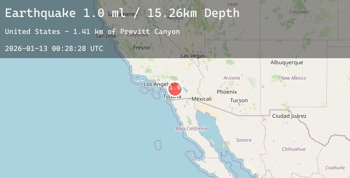
A 1.0 magnitude earthquake struck on 10 km ENE of Palomar Observatory, CA, at Tue, 13 Jan 2026 00:28:28 GMT. Depth: 13.37km. Reviewed by USGS seismologists, this minor quake occurred at a magnitude type of ml.
Magnitude
1.0
ml
Source
USGS
Intensity
-
Agency Reports
3 Sources| Source | Magnitude | Depth | Time |
|---|---|---|---|
| USGSPrimary | 1.0 | 15 km | 3 hours ago |
| USGSPrimary | 0.8 | 1 km | 3 hours ago |
| USGSPrimary | 0.8 | 14 km | 3 hours ago |
Earthquake Details
AutomaticEvent IDusgs_ci41156407
Tsunami PotentialNo
Magnitude Typeml
Nearest Places
- Kohler Canyon2.0 km
- Previtt Canyon2.0 km
- Rattlesnake Creek2.2 km
- Dodge Valley2.4 km
- Oak Grove2.9 km
Comments
Join the discussion about this event.
Latest Earthquakes
3.7Mag
Timor Region
Time2 hours ago
Depth13.15 km
SourceBMKG (Automatic)
2.2Mag
ISLAND OF HAWAII, HAWAII
Time2 hours ago
Depth2.90 km
SourceHV (Automatic)
1.9Mag
65 km ESE of Cantwell, Alaska
Time2 hours ago
Depth3.60 km
SourceUSGS (Automatic)
2.8Mag
Northern Sumatra, Indonesia
Time2 hours ago
Depth5.81 km
SourceBMKG (Automatic)
1.1Mag
26 km NE of Arvin, CA
Time2 hours ago
Depth4.45 km
SourceUSGS (Automatic)
Nearby Earthquakes
1.1Mag
6 km SSW of Idyllwild, CA
Time4 hours ago
Depth16.55 km
SourceUSGS (Automatic)
2.5Mag
SOUTHERN CALIFORNIA
Time9 hours ago
Depth5.80 km
SourceSCSN (Automatic)
1.5Mag
4 km S of Idyllwild, CA
Time12 hours ago
Depth17.26 km
SourceUSGS (Automatic)
0.6Mag
18 km NNW of Borrego Springs, CA
Time16 hours ago
Depth15.11 km
SourceUSGS (Automatic)
1.8Mag
9 km NNE of Banning, CA
Time17 hours ago
Depth18.03 km
SourceUSGS (Automatic)