Earthquake Halmahera, Indonesia
Tue, 13 Jan 2026 01:57:06 GMT
Time2 hours ago
Location
2.3953, 128.2670
Depth
87.4 KM
Event Summary
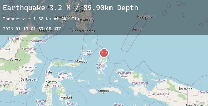
A 4.2 magnitude earthquake struck on Halmahera, Indonesia, at Tue, 13 Jan 2026 01:57:06 GMT. Depth: 87.418839km. Reviewed by BMKG seismologists, this light quake occurred at a magnitude type of M.
Magnitude
4.2
M
Source
BMKG
Intensity
-
Agency Reports
1 Sources| Source | Magnitude | Depth | Time |
|---|---|---|---|
| BMKGPrimary | 4.2 | 87 km | 2 hours ago |
Earthquake Details
AutomaticEvent IDbmg2026awbx
Tsunami PotentialNo
Magnitude TypeM
Nearest Places
- Tanjung Pusu2.5 km
- Leloro3.4 km
- Ake Ciu3.6 km
- Cio Gerong4.7 km
- Tanjung Gerongu4.7 km
Comments
Join the discussion about this event.
Latest Earthquakes
2.1Mag
Java, Indonesia
Time2 hours ago
Depth92.18 km
SourceBMKG (Automatic)
2.4Mag
Sumbawa Region, Indonesia
Time2 hours ago
Depth37.73 km
SourceBMKG (Automatic)
3.3Mag
West Papua, Indonesia
Time2 hours ago
Depth14.85 km
SourceBMKG (Automatic)
2.2Mag
WESTERN TEXAS
Time2 hours ago
Depth4.70 km
SourceTX (Automatic)
2.3Mag
Sumbawa Region, Indonesia
Time2 hours ago
Depth24.94 km
SourceBMKG (Automatic)