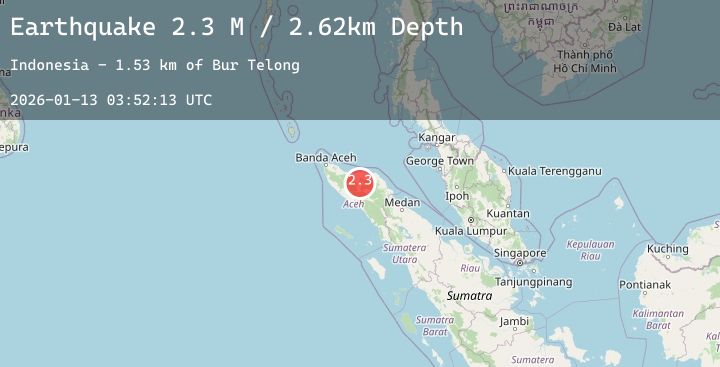
Earthquake Northern Sumatra, Indonesia
Tue, 13 Jan 2026 03:52:13 GMT
Time2 hours ago
Location
4.7561, 96.8004
Depth
5.0 KM
Event Summary
A 2.3 magnitude earthquake struck on Northern Sumatra, Indonesia, at Tue, 13 Jan 2026 03:52:13 GMT. Depth: 5km. Reviewed by BMKG seismologists, this minor quake occurred at a magnitude type of M.
Magnitude
2.3
M
Source
BMKG
Intensity
-
Agency Reports
1 Sources| Source | Magnitude | Depth | Time |
|---|---|---|---|
| BMKGPrimary | 2.3 | 5 km | 2 hours ago |
Earthquake Details
AutomaticEvent IDbmg2026awfs
Tsunami PotentialNo
Magnitude TypeM
Nearest Places
- Gampong Rembune0.7 km
- Gampong Bandar Lampahan1.3 km
- Bur Telong1.4 km
- Desabaru1.5 km
- Gampong Pantan Pediangan1.8 km
Comments
Join the discussion about this event.
Latest Earthquakes
2.7Mag
ISLAND OF HAWAII, HAWAII
Time2 hours ago
Depth7.90 km
SourceHV (Automatic)
2.7Mag
ANTOFAGASTA, CHILE
Time2 hours ago
Depth115.70 km
SourceCSN (Automatic)
0.9Mag
32 km SSE of Minto, Alaska
Time2 hours ago
Depth2.70 km
SourceUSGS (Automatic)
1.8Mag
24 km NNW of Sutton-Alpine, Alaska
Time2 hours ago
Depth19.50 km
SourceUSGS (Automatic)
1.1Mag
CENTRAL TURKEY
Time2 hours ago
Depth7.00 km
SourceAFAD (Automatic)