Earthquake South of Bali, Indonesia
Tue, 13 Jan 2026 17:30:55 GMT
Time1 day ago
Location
-9.4013, 115.9143
Depth
29.9 KM
Event Summary
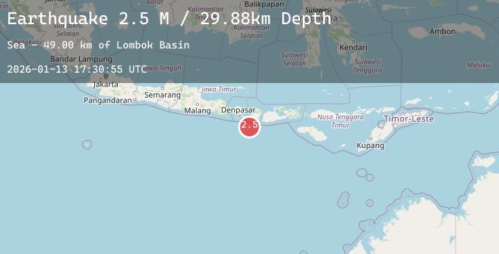
A 2.3 magnitude earthquake struck on South of Bali, Indonesia, at Tue, 13 Jan 2026 17:30:55 GMT. Depth: 29.882111km. Reviewed by BMKG seismologists, this minor quake occurred at a magnitude type of M.
Magnitude
2.3
M
Source
BMKG
Intensity
-
Agency Reports
1 Sources| Source | Magnitude | Depth | Time |
|---|---|---|---|
| BMKGPrimary | 2.3 | 30 km | 1 day ago |
Earthquake Details
AutomaticEvent IDbmg2026axgs
Tsunami PotentialNo
Magnitude TypeM
Nearest Places
- Lombok Basin49.0 km
- Pulau Sophialouisa53.9 km
- Gili Sarangburung56.6 km
- Tanjung Panggang56.8 km
- Gili Luah57.4 km
Comments
Join the discussion about this event.
Latest Earthquakes
2.6Mag
Northern Sumatra, Indonesia
Time1 day ago
Depth6.31 km
SourceBMKG (Automatic)
1.6Mag
12 km WSW of Stanton, Texas
Time1 day ago
Depth3.61 km
SourceUSGS (Automatic)
1.6Mag
2 km ENE of Studio City, CA
Time1 day ago
Depth15.71 km
SourceUSGS (Automatic)
3.2Mag
Java Sea
Time1 day ago
Depth10.00 km
SourceBMKG (Automatic)
3.1Mag
Minahassa Peninsula, Sulawesi
Time1 day ago
Depth176.71 km
SourceBMKG (Automatic)
Nearby Earthquakes
No significant earthquakes nearby recently.