Earthquake Northern Sumatra, Indonesia
Tue, 13 Jan 2026 17:28:26 GMT
Time1 day ago
Location
4.7193, 96.7817
Depth
6.3 KM
Event Summary
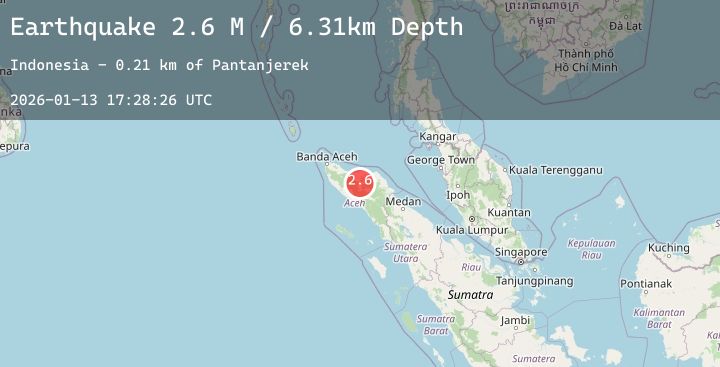
A 2.6 magnitude earthquake struck on Northern Sumatra, Indonesia, at Tue, 13 Jan 2026 17:28:26 GMT. Depth: 6.305717km. Reviewed by BMKG seismologists, this minor quake occurred at a magnitude type of M.
Magnitude
2.6
M
Source
BMKG
Intensity
-
Agency Reports
1 Sources| Source | Magnitude | Depth | Time |
|---|---|---|---|
| BMKGPrimary | 2.6 | 6 km | 1 day ago |
Earthquake Details
AutomaticEvent IDbmg2026axgq
Tsunami PotentialNo
Magnitude TypeM
Nearest Places
- Gampong Simpang Antara0.2 km
- Uteumputo0.3 km
- Lukup Sabun Bawah0.5 km
- Waihni Balek0.7 km
- Kampung Lukub Sabun Barat1.1 km
Comments
Join the discussion about this event.
Latest Earthquakes
2.4Mag
38 km WNW of Tatitlek, Alaska
Time1 day ago
Depth12.90 km
SourceUSGS (Automatic)
2.3Mag
ISLAND OF HAWAII, HAWAII
Time1 day ago
Depth35.10 km
SourceHV (Automatic)
2.3Mag
South of Bali, Indonesia
Time1 day ago
Depth29.88 km
SourceBMKG (Automatic)
1.6Mag
12 km WSW of Stanton, Texas
Time1 day ago
Depth3.61 km
SourceUSGS (Automatic)
1.6Mag
2 km ENE of Studio City, CA
Time1 day ago
Depth15.71 km
SourceUSGS (Automatic)