Earthquake West Papua Region, Indonesia
Tue, 13 Jan 2026 18:38:26 GMT
Time1 day ago
Location
-0.3799, 132.1390
Depth
10.0 KM
Event Summary
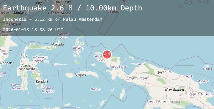
A 2.6 magnitude earthquake struck on West Papua Region, Indonesia, at Tue, 13 Jan 2026 18:38:26 GMT. Depth: 10km. Reviewed by BMKG seismologists, this minor quake occurred at a magnitude type of M.
Magnitude
2.6
M
Source
BMKG
Intensity
-
Agency Reports
1 Sources| Source | Magnitude | Depth | Time |
|---|---|---|---|
| BMKGPrimary | 2.6 | 10 km | 1 day ago |
Earthquake Details
AutomaticEvent IDbmg2026axiy
Tsunami PotentialNo
Magnitude TypeM
Nearest Places
- Pulau Amsterdam5.1 km
- Mios Su5.5 km
- Sungai Wowei6.3 km
- Mar6.4 km
- Pulau Middelburg6.4 km
Comments
Join the discussion about this event.
Latest Earthquakes
2.0Mag
SOUTHERN CALIFORNIA
Time1 day ago
Depth4.70 km
SourceSCSN (Automatic)
1.6Mag
28 km WSW of Anchor Point, Alaska
Time1 day ago
Depth91.00 km
SourceUSGS (Automatic)
3.0Mag
South of Java, Indonesia
Time1 day ago
Depth10.00 km
SourceBMKG (Automatic)
1.4Mag
CENTRAL TURKEY
Time1 day ago
Depth7.00 km
SourceAFAD (Automatic)
3.9Mag
WESTERN XIZANG
Time1 day ago
Depth10.00 km
SourceNDI (Automatic)