Earthquake West Papua Region, Indonesia
Thu, 15 Jan 2026 04:54:00 GMT
Time2 hours ago
Location
-3.7091, 132.5356
Depth
10.0 KM
Event Summary
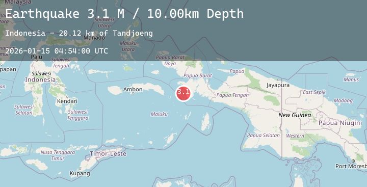
A 3.1 magnitude earthquake struck on West Papua Region, Indonesia, at Thu, 15 Jan 2026 04:54:00 GMT. Depth: 10km. Reviewed by BMKG seismologists, this minor quake occurred at a magnitude type of M.
Magnitude
3.1
M
Source
BMKG
Intensity
-
Agency Reports
1 Sources| Source | Magnitude | Depth | Time |
|---|---|---|---|
| BMKGPrimary | 3.1 | 10 km | 2 hours ago |
Earthquake Details
AutomaticEvent IDbmg2026azyt
Tsunami PotentialNo
Magnitude TypeM
Nearest Places
- Tandjoeng20.1 km
- Tanjung Tongerai22.7 km
- Gunung Baik25.8 km
- Kasurai25.9 km
- Tanjung Maniiem27.0 km
Comments
Join the discussion about this event.
Latest Earthquakes
4.2Mag
Banda Sea
Time2 hours ago
Depth215.68 km
SourceBMKG (Automatic)
2.1Mag
WESTERN TURKEY
Time3 hours ago
Depth8.70 km
SourceKOERI (Automatic)
2.6Mag
Timor Region
Time3 hours ago
Depth70.49 km
SourceBMKG (Automatic)
2.9Mag
West Papua, Indonesia
Time3 hours ago
Depth27.31 km
SourceBMKG (Automatic)
3.2Mag
West Papua Region, Indonesia
Time3 hours ago
Depth77.03 km
SourceBMKG (Automatic)
Nearby Earthquakes
No significant earthquakes nearby recently.