Earthquake West Papua, Indonesia
Thu, 15 Jan 2026 10:56:04 GMT
Time2 hours ago
Location
-3.2933, 140.2386
Depth
10.0 KM
Event Summary
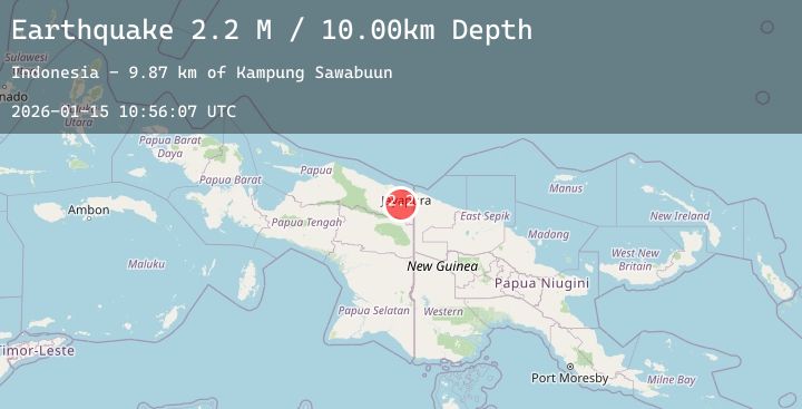
A 2.3 magnitude earthquake struck on West Papua, Indonesia, at Thu, 15 Jan 2026 10:56:04 GMT. Depth: 10km. Reviewed by BMKG seismologists, this minor quake occurred at a magnitude type of M.
Magnitude
2.3
M
Source
BMKG
Intensity
-
Agency Reports
1 Sources| Source | Magnitude | Depth | Time |
|---|---|---|---|
| BMKGPrimary | 2.3 | 10 km | 2 hours ago |
Earthquake Details
AutomaticEvent IDbmg2026bakr
Tsunami PotentialNo
Magnitude TypeM
Nearest Places
- Sungai Pelveh9.3 km
- Songgolo10.8 km
- Sungai Waruta11.7 km
- Kampung Lapua14.0 km
- Krau17.4 km
Comments
Join the discussion about this event.
Latest Earthquakes
2.1Mag
7 km WSW of Holtville, CA
Time2 hours ago
Depth8.80 km
SourceUSGS (Automatic)
1.2Mag
5 km N of Oak Park, CA
Time2 hours ago
Depth14.25 km
SourceUSGS (Automatic)
2.2Mag
FRANCE
Time2 hours ago
Depth5.00 km
SourceReNaSS (Automatic)
3.4Mag
Southern Sumatra, Indonesia
Time2 hours ago
Depth84.60 km
SourceBMKG (Automatic)
0.8Mag
SLOVENIA
Time2 hours ago
Depth0.00 km
SourceOGS (Automatic)