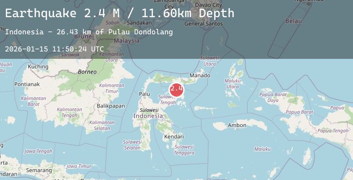
Earthquake Minahassa Peninsula, Sulawesi
Thu, 15 Jan 2026 11:50:24 GMT
Time2 hours ago
Location
-0.1670, 122.7004
Depth
6.4 KM
Event Summary
A 2.3 magnitude earthquake struck on Minahassa Peninsula, Sulawesi, at Thu, 15 Jan 2026 11:50:24 GMT. Depth: 6.381451km. Reviewed by BMKG seismologists, this minor quake occurred at a magnitude type of M.
Magnitude
2.3
M
Source
BMKG
Intensity
-
Agency Reports
1 Sources| Source | Magnitude | Depth | Time |
|---|---|---|---|
| BMKGPrimary | 2.3 | 6 km | 2 hours ago |
Earthquake Details
AutomaticEvent IDbmg2026bamm
Tsunami PotentialNo
Magnitude TypeM
Nearest Places
- Pulau Dondolang29.4 km
- Pulau Teloga34.5 km
- Tanjung Tambun36.4 km
- Karang Buniak36.9 km
- Karang Bokoboko37.2 km
Comments
Join the discussion about this event.
Latest Earthquakes
1.7Mag
7 km WSW of Holtville, CA
Time2 hours ago
Depth11.99 km
SourceUSGS (Automatic)
1.3Mag
7 km S of Palomar Observatory, CA
Time2 hours ago
Depth-0.60 km
SourceUSGS (Automatic)
1.2Mag
8 km SSE of Palomar Observatory, CA
Time2 hours ago
Depth13.90 km
SourceUSGS (Automatic)
2.0Mag
7 km NE of Skwentna, Alaska
Time2 hours ago
Depth70.80 km
SourceUSGS (Automatic)
3.9Mag
Talaud Islands, Indonesia
Time3 hours ago
Depth24.77 km
SourceBMKG (Automatic)