Earthquake 7 km NE of Skwentna, Alaska
Thu, 15 Jan 2026 11:45:20 GMT
Time2 hours ago
Location
62.0400, -151.2980
Depth
70.8 KM
Event Summary
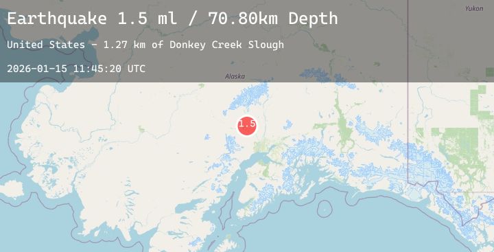
A 2.0 magnitude earthquake struck on 7 km NE of Skwentna, Alaska, at Thu, 15 Jan 2026 11:45:20 GMT. Depth: 70.8km. Reviewed by USGS seismologists, this minor quake occurred at a magnitude type of ml.
Magnitude
2.0
ml
Source
USGS
Intensity
-
Agency Reports
1 Sources| Source | Magnitude | Depth | Time |
|---|---|---|---|
| USGSPrimary | 2.0 | 71 km | 2 hours ago |
Earthquake Details
AutomaticEvent IDusgs_ak2026bapodh
Tsunami PotentialNo
Magnitude Typeml
Nearest Places
- Donkey Creek Slough0.9 km
- Hewitt Creek5.3 km
- Donkey Creek5.5 km
- Sdak'dal'iy6.2 km
- Hewitt Lake6.3 km
Comments
Join the discussion about this event.
Latest Earthquakes
2.3Mag
Near North Coast of West Papua
Time7 minutes ago
Depth10.00 km
SourceBMKG (Automatic)
2.1Mag
Sumba Region, Indonesia
Time8 minutes ago
Depth47.56 km
SourceBMKG (Automatic)
1.3Mag
2 km SE of Pacifica, CA
Time9 minutes ago
Depth9.77 km
SourceUSGS (Automatic)
2.5Mag
47 km E of Denali National Park, Alaska
Time12 minutes ago
Depth2.80 km
SourceUSGS (Automatic)
2.0Mag
100 km N of Karluk, Alaska
Time16 minutes ago
Depth5.50 km
SourceUSGS (Automatic)
Nearby Earthquakes
1.8Mag
21 km S of Susitna North, Alaska
Time1 hour ago
Depth17.80 km
SourceUSGS (Automatic)
3.0Mag
41 km WNW of Tyonek, Alaska
Time5 hours ago
Depth88.20 km
SourceUSGS (Automatic)
2.4Mag
26 km WSW of Point MacKenzie, Alaska
Time6 hours ago
Depth37.00 km
SourceUSGS (Automatic)
3.7Mag
47 km SW of Skwentna, Alaska
Time8 hours ago
Depth101.20 km
SourceUSGS
1.8Mag
33 km NW of Willow, Alaska
Time9 hours ago
Depth13.70 km
SourceUSGS (Automatic)