Earthquake Northern Molucca Sea
Fri, 16 Jan 2026 15:26:50 GMT
Time1 hour ago
Location
2.4406, 126.6626
Depth
64.5 KM
Event Summary
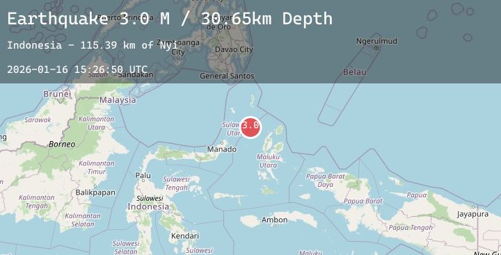
A 3.2 magnitude earthquake struck on Northern Molucca Sea, at Fri, 16 Jan 2026 15:26:50 GMT. Depth: 64.494415km. Reviewed by BMKG seismologists, this minor quake occurred at a magnitude type of M.
Magnitude
3.2
M
Source
BMKG
Intensity
-
Agency Reports
1 Sources| Source | Magnitude | Depth | Time |
|---|---|---|---|
| BMKGPrimary | 3.2 | 64 km | 1 hour ago |
Earthquake Details
AutomaticEvent IDbmg2026bcpd
Tsunami PotentialNo
Magnitude TypeM
Nearest Places
- Nyi112.9 km
- Pulau Laba119.5 km
- Tanjung Gurama120.7 km
- Pulau Deherete121.3 km
- Desa Jikolamo122.2 km
Comments
Join the discussion about this event.
Latest Earthquakes
1.1Mag
4 km NNW of The Geysers, CA
Time2 hours ago
Depth2.58 km
SourceUSGS (Automatic)
2.1Mag
Flores Sea
Time2 hours ago
Depth38.71 km
SourceBMKG (Automatic)
4.5Mag
Banda Sea
Time2 hours ago
Depth424.36 km
SourceBMKG (Automatic)
2.6Mag
SOUTHERN TEXAS
Time2 hours ago
Depth10.80 km
SourceTX (Automatic)
2.1Mag
West Papua Region, Indonesia
Time2 hours ago
Depth10.00 km
SourceBMKG (Automatic)