Earthquake Java, Indonesia
Fri, 16 Jan 2026 15:44:53 GMT
Time3 hours ago
Location
-8.7213, 111.0444
Depth
39.1 KM
Event Summary
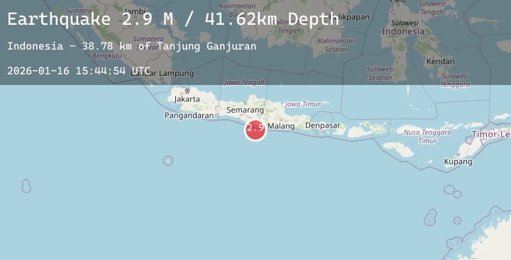
A 2.9 magnitude earthquake struck on Java, Indonesia, at Fri, 16 Jan 2026 15:44:53 GMT. Depth: 39.094166km. Reviewed by BMKG seismologists, this minor quake occurred at a magnitude type of M.
Magnitude
2.9
M
Source
BMKG
Intensity
-
Agency Reports
1 Sources| Source | Magnitude | Depth | Time |
|---|---|---|---|
| BMKGPrimary | 2.9 | 39 km | 3 hours ago |
Earthquake Details
AutomaticEvent IDbmg2026bcps
Tsunami PotentialNo
Magnitude TypeM
Nearest Places
- Tanjung Ganjuran50.0 km
- Tanjung Pikatan50.1 km
- Gunung Lanang50.3 km
- Gunung Ganjuran50.4 km
- Teluk Sanglehan50.5 km
Comments
Join the discussion about this event.
Latest Earthquakes
4.2Mag
HOKKAIDO, JAPAN REGION
Time4 hours ago
Depth0.00 km
SourceJMA (Automatic)
3.2Mag
Northern Molucca Sea
Time4 hours ago
Depth64.49 km
SourceBMKG (Automatic)
1.1Mag
4 km NNW of The Geysers, CA
Time4 hours ago
Depth2.58 km
SourceUSGS (Automatic)
2.1Mag
Flores Sea
Time4 hours ago
Depth38.71 km
SourceBMKG (Automatic)
4.5Mag
Banda Sea
Time4 hours ago
Depth424.36 km
SourceBMKG (Automatic)
Nearby Earthquakes
2.3Mag
Java, Indonesia
Time6 hours ago
Depth107.83 km
SourceBMKG (Automatic)
2.8Mag
Java, Indonesia
Time8 hours ago
Depth18.18 km
SourceBMKG (Automatic)
2.9Mag
Java, Indonesia
Time15 hours ago
Depth19.62 km
SourceBMKG (Automatic)
3.0Mag
South of Java, Indonesia
Time17 hours ago
Depth45.00 km
SourceBMKG (Automatic)
2.4Mag
Java, Indonesia
Time1 day ago
Depth95.20 km
SourceBMKG (Automatic)