Earthquake Timor Region
Sat, 17 Jan 2026 15:30:21 GMT
Time6 hours ago
Location
-10.3177, 123.5453
Depth
9.7 KM
Event Summary
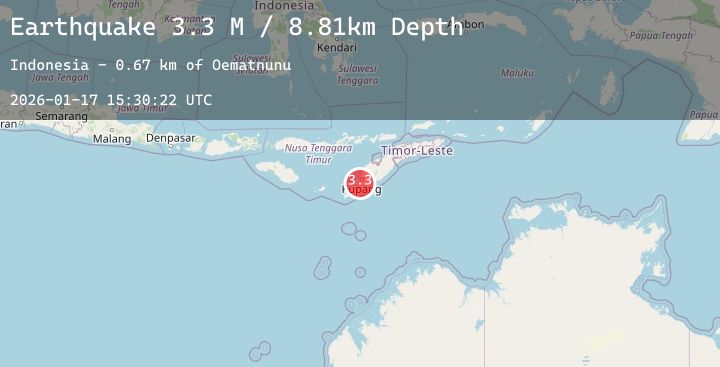
A 3.3 magnitude earthquake struck on Timor Region, at Sat, 17 Jan 2026 15:30:21 GMT. Depth: 9.72957km. Reviewed by BMKG seismologists, this minor quake occurred at a magnitude type of M.
Magnitude
3.3
M
Source
BMKG
Intensity
-
Agency Reports
2 Sources| Source | Magnitude | Depth | Time |
|---|---|---|---|
| BMKGPrimary | 3.3 | 10 km | 6 hours ago |
| BMKGPrimary | 3.3 | 9 km | 6 hours ago |
Earthquake Details
AutomaticEvent IDbmg2026bekt
Tsunami PotentialNo
Magnitude TypeM
Nearest Places
- Tubu Uistuan0.1 km
- Cekdam Uistuan Satu0.3 km
- Cekdam Uistuan Dua0.3 km
- Desa Sumlili0.7 km
- Cekdam Sumlili Dua0.8 km
Comments
Join the discussion about this event.
Latest Earthquakes
3.5Mag
Talaud Islands, Indonesia
Time6 hours ago
Depth89.49 km
SourceBMKG (Automatic)
2.7Mag
Timor Region
Time6 hours ago
Depth6.59 km
SourceBMKG (Automatic)
2.5Mag
Savu Sea
Time6 hours ago
Depth15.96 km
SourceBMKG (Automatic)
3.5Mag
TUCUMAN, ARGENTINA
Time6 hours ago
Depth10.00 km
SourceNSNA (Automatic)
1.6Mag
63 km NW of Tatitlek, Alaska
Time6 hours ago
Depth5.00 km
SourceUSGS (Automatic)