Earthquake Timor Region
Sat, 17 Jan 2026 15:14:08 GMT
Time6 hours ago
Location
-8.6669, 124.8882
Depth
6.6 KM
Event Summary
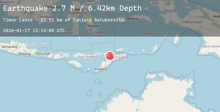
A 2.7 magnitude earthquake struck on Timor Region, at Sat, 17 Jan 2026 15:14:08 GMT. Depth: 6.589823km. Reviewed by BMKG seismologists, this minor quake occurred at a magnitude type of M.
Magnitude
2.7
M
Source
BMKG
Intensity
-
Agency Reports
1 Sources| Source | Magnitude | Depth | Time |
|---|---|---|---|
| BMKGPrimary | 2.7 | 7 km | 6 hours ago |
Earthquake Details
AutomaticEvent IDbmg2026bekf
Tsunami PotentialNo
Magnitude TypeM
Nearest Places
- Tanjung Batuboroilo23.1 km
- Mota Loes23.6 km
- Muara Loes23.6 km
- Be Takabalan23.6 km
- Mota Watupulua23.7 km
Comments
Join the discussion about this event.
Latest Earthquakes
2.5Mag
Savu Sea
Time6 hours ago
Depth15.96 km
SourceBMKG (Automatic)
1.2Mag
63 km NW of Tatitlek, Alaska
Time6 hours ago
Depth5.00 km
SourceUSGS (Automatic)
1.8Mag
6 km SW of Volcano, Hawaii
Time6 hours ago
Depth1.25 km
SourceUSGS (Automatic)
1.9Mag
16 km S of Tres Pinos, CA
Time7 hours ago
Depth-0.45 km
SourceUSGS (Automatic)
2.7Mag
Southern Sumatra, Indonesia
Time7 hours ago
Depth43.79 km
SourceBMKG (Automatic)