Earthquake 63 km NW of Tatitlek, Alaska
Sat, 17 Jan 2026 15:09:56 GMT
Time6 hours ago
Location
61.2150, -147.5960
Depth
5.0 KM
Event Summary
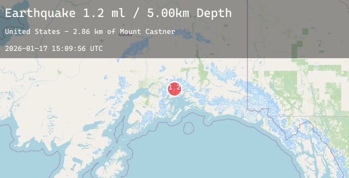
A 1.6 magnitude earthquake struck on 63 km NW of Tatitlek, Alaska, at Sat, 17 Jan 2026 15:09:56 GMT. Depth: 5km. Reviewed by USGS seismologists, this minor quake occurred at a magnitude type of ml.
Magnitude
1.6
ml
Source
USGS
Intensity
-
Agency Reports
2 Sources| Source | Magnitude | Depth | Time |
|---|---|---|---|
| USGSPrimary | 1.2 | 5 km | 6 hours ago |
| USGSPrimary | 1.6 | 70 km | 6 hours ago |
Earthquake Details
AutomaticEvent IDusgs_ak2026benufa
Tsunami PotentialNo
Magnitude Typeml
Nearest Places
- Mount Castner2.9 km
- Ranney Glacier4.0 km
- Dartmouth Glacier5.3 km
- Baby Glacier5.8 km
- Yale Glacier5.8 km
Comments
Join the discussion about this event.
Latest Earthquakes
4.5Mag
60 km WNW of Sitka, Alaska
Time3 minutes ago
Depth1.60 km
SourceUSGS (Automatic)
2.9Mag
Sunda Strait, Indonesia
Time14 minutes ago
Depth12.32 km
SourceBMKG (Automatic)
2.7Mag
Minahassa Peninsula, Sulawesi
Time22 minutes ago
Depth37.73 km
SourceBMKG (Automatic)
2.5Mag
Java, Indonesia
Time23 minutes ago
Depth123.65 km
SourceBMKG (Automatic)
2.5Mag
Sulawesi, Indonesia
Time28 minutes ago
Depth5.00 km
SourceBMKG (Automatic)
Nearby Earthquakes
2.4Mag
18 km NW of Girdwood, Alaska
Time4 hours ago
Depth17.30 km
SourceUSGS (Automatic)
1.8Mag
47 km SSE of Nelchina, Alaska
Time5 hours ago
Depth21.40 km
SourceUSGS (Automatic)
3.8Mag
56 km WNW of Tatitlek, Alaska
Time8 hours ago
Depth17.80 km
SourceUSGS (Automatic)
2.1Mag
40 km NW of Valdez, Alaska
Time11 hours ago
Depth23.30 km
SourceUSGS (Automatic)
2.3Mag
18 km SW of Whittier, Alaska
Time13 hours ago
Depth16.90 km
SourceUSGS (Automatic)