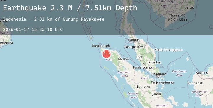
Earthquake Northern Sumatra, Indonesia
Sat, 17 Jan 2026 15:35:10 GMT
Time6 hours ago
Location
4.6958, 96.1491
Depth
7.5 KM
Event Summary
A 2.3 magnitude earthquake struck on Northern Sumatra, Indonesia, at Sat, 17 Jan 2026 15:35:10 GMT. Depth: 7.506617km. Reviewed by BMKG seismologists, this minor quake occurred at a magnitude type of M.
Magnitude
2.3
M
Source
BMKG
Intensity
-
Agency Reports
1 Sources| Source | Magnitude | Depth | Time |
|---|---|---|---|
| BMKGPrimary | 2.3 | 8 km | 6 hours ago |
Earthquake Details
AutomaticEvent IDbmg2026bekx
Tsunami PotentialNo
Magnitude TypeM
Nearest Places
- Gunung Rayakayee2.3 km
- Gunung Monteungku3.5 km
- Kecamatan Sungai Mas4.1 km
- Alue Rek4.5 km
- Gunung Sinengoh Ukhe Kayee4.7 km
Comments
Join the discussion about this event.
Latest Earthquakes
3.3Mag
Timor Region
Time6 hours ago
Depth9.73 km
SourceBMKG (Automatic)
3.5Mag
Talaud Islands, Indonesia
Time6 hours ago
Depth89.49 km
SourceBMKG (Automatic)
2.7Mag
Timor Region
Time6 hours ago
Depth6.59 km
SourceBMKG (Automatic)
2.5Mag
Savu Sea
Time6 hours ago
Depth15.96 km
SourceBMKG (Automatic)
3.5Mag
TUCUMAN, ARGENTINA
Time6 hours ago
Depth10.00 km
SourceNSNA (Automatic)