Earthquake Sumbawa Region, Indonesia
Sat, 17 Jan 2026 16:45:21 GMT
Time1 hour ago
Location
-8.1250, 117.6841
Depth
4.3 KM
Event Summary
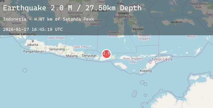
A 2.0 magnitude earthquake struck on Sumbawa Region, Indonesia, at Sat, 17 Jan 2026 16:45:21 GMT. Depth: 4.333629km. Reviewed by BMKG seismologists, this minor quake occurred at a magnitude type of M.
Magnitude
2.0
M
Source
BMKG
Intensity
-
Agency Reports
1 Sources| Source | Magnitude | Depth | Time |
|---|---|---|---|
| BMKGPrimary | 2.0 | 4 km | 1 hour ago |
Earthquake Details
AutomaticEvent IDbmg2026benf
Tsunami PotentialNo
Magnitude TypeM
Nearest Places
- Rasabau3.6 km
- Tanjung Panda4.0 km
- Patedong4.5 km
- Teluk Patedong4.5 km
- Tanjung Srae4.6 km
Comments
Join the discussion about this event.
Latest Earthquakes
1.3Mag
61 km N of Chickaloon, Alaska
Time2 hours ago
Depth31.10 km
SourceUSGS (Automatic)
2.9Mag
Sunda Strait, Indonesia
Time2 hours ago
Depth6.85 km
SourceBMKG (Automatic)
3.1Mag
OFF E. COAST OF N. ISLAND, N.Z.
Time2 hours ago
Depth245.60 km
SourceGNS (Automatic)
1.9Mag
31 km NW of Toyah, Texas
Time2 hours ago
Depth3.95 km
SourceUSGS (Automatic)
1.8Mag
47 km SSE of Nelchina, Alaska
Time2 hours ago
Depth21.40 km
SourceUSGS (Automatic)
Nearby Earthquakes
2.0Mag
Sumbawa Region, Indonesia
Time2 hours ago
Depth21.43 km
SourceBMKG (Automatic)
2.4Mag
Bali Sea
Time3 hours ago
Depth6.76 km
SourceBMKG (Automatic)
3.1Mag
Bali Sea
Time7 hours ago
Depth10.00 km
SourceBMKG (Automatic)
2.3Mag
Sumbawa Region, Indonesia
Time14 hours ago
Depth10.00 km
SourceBMKG (Automatic)
2.4Mag
Sumbawa Region, Indonesia
Time23 hours ago
Depth17.58 km
SourceBMKG (Automatic)