Earthquake West Papua Region, Indonesia
Sat, 17 Jan 2026 18:22:54 GMT
Time1 hour ago
Location
-3.6950, 133.6928
Depth
17.6 KM
Event Summary
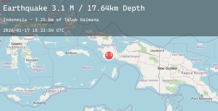
A 3.1 magnitude earthquake struck on West Papua Region, Indonesia, at Sat, 17 Jan 2026 18:22:54 GMT. Depth: 17.639713km. Reviewed by BMKG seismologists, this minor quake occurred at a magnitude type of M.
Magnitude
3.1
M
Source
BMKG
Intensity
-
Agency Reports
1 Sources| Source | Magnitude | Depth | Time |
|---|---|---|---|
| BMKGPrimary | 3.1 | 18 km | 1 hour ago |
Earthquake Details
AutomaticEvent IDbmg2026beql
Tsunami PotentialNo
Magnitude TypeM
Nearest Places
- Teluk Kaimana3.3 km
- Tanjung Simora3.3 km
- Smora4.5 km
- Airtiba5.1 km
- Kampung Trikora5.4 km
Comments
Join the discussion about this event.
Latest Earthquakes
3.5Mag
SOUTHERN ALASKA
Time1 hour ago
Depth78.80 km
SourceAK (Automatic)
2.2Mag
Sumbawa Region, Indonesia
Time2 hours ago
Depth25.48 km
SourceBMKG (Automatic)
2.2Mag
Northern Sumatra, Indonesia
Time2 hours ago
Depth4.35 km
SourceBMKG (Automatic)
2.2Mag
16 km S of Volcano, Hawaii
Time2 hours ago
Depth0.45 km
SourceUSGS (Automatic)
5.4Mag
SOUTH SANDWICH ISLANDS REGION
Time2 hours ago
Depth68.50 km
SourceNEIC (Automatic)