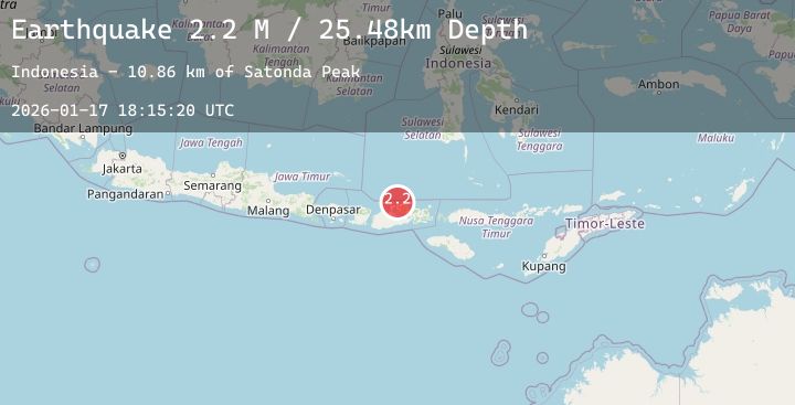
Earthquake Sumbawa Region, Indonesia
Sat, 17 Jan 2026 18:15:20 GMT
Time2 hours ago
Location
-8.0168, 117.7936
Depth
25.5 KM
Event Summary
A 2.2 magnitude earthquake struck on Sumbawa Region, Indonesia, at Sat, 17 Jan 2026 18:15:20 GMT. Depth: 25.477253km. Reviewed by BMKG seismologists, this minor quake occurred at a magnitude type of M.
Magnitude
2.2
M
Source
BMKG
Intensity
-
Agency Reports
1 Sources| Source | Magnitude | Depth | Time |
|---|---|---|---|
| BMKGPrimary | 2.2 | 25 km | 2 hours ago |
Earthquake Details
AutomaticEvent IDbmg2026beqe
Tsunami PotentialNo
Magnitude TypeM
Nearest Places
- Satonda Peak10.8 km
- Pulau Satonda11.4 km
- Ndano Satonda11.6 km
- Sori Jati12.2 km
- Teluk Sonae12.5 km
Comments
Join the discussion about this event.
Latest Earthquakes
2.2Mag
Northern Sumatra, Indonesia
Time2 hours ago
Depth4.35 km
SourceBMKG (Automatic)
1.8Mag
16 km S of Volcano, Hawaii
Time2 hours ago
Depth0.45 km
SourceUSGS (Automatic)
2.5Mag
CENTRAL TURKEY
Time2 hours ago
Depth6.20 km
SourceEMSC (Automatic)
3.6Mag
GREENLAND SEA
Time2 hours ago
Depth4.70 km
SourceNORSAR (Automatic)
3.1Mag
Seram, Indonesia
Time2 hours ago
Depth65.33 km
SourceBMKG (Automatic)
Nearby Earthquakes
2.0Mag
Sumbawa Region, Indonesia
Time3 hours ago
Depth4.33 km
SourceBMKG (Automatic)
2.0Mag
Sumbawa Region, Indonesia
Time4 hours ago
Depth21.43 km
SourceBMKG (Automatic)
2.4Mag
Bali Sea
Time5 hours ago
Depth6.76 km
SourceBMKG (Automatic)
3.1Mag
Bali Sea
Time9 hours ago
Depth10.00 km
SourceBMKG (Automatic)
2.3Mag
Sumbawa Region, Indonesia
Time16 hours ago
Depth10.00 km
SourceBMKG (Automatic)