Earthquake South of Java, Indonesia
Sat, 17 Jan 2026 19:59:05 GMT
Time2 hours ago
Location
-9.0205, 110.3512
Depth
12.0 KM
Event Summary
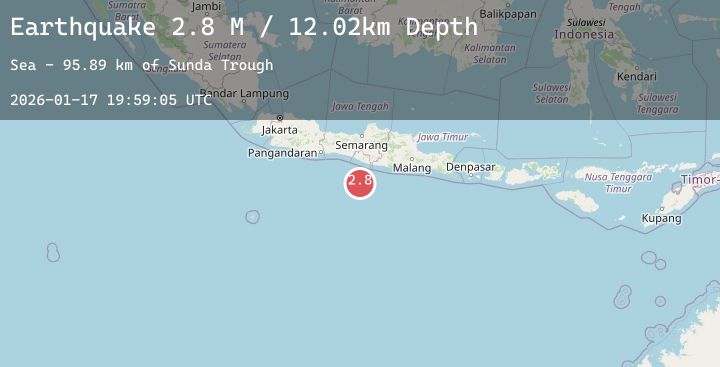
A 2.8 magnitude earthquake struck on South of Java, Indonesia, at Sat, 17 Jan 2026 19:59:05 GMT. Depth: 12.02km. Reviewed by BMKG seismologists, this minor quake occurred at a magnitude type of M.
Magnitude
2.8
M
Source
BMKG
Intensity
-
Agency Reports
1 Sources| Source | Magnitude | Depth | Time |
|---|---|---|---|
| BMKGPrimary | 2.8 | 12 km | 2 hours ago |
Earthquake Details
AutomaticEvent IDbmg2026betp
Tsunami PotentialNo
Magnitude TypeM
Nearest Places
- Sunda Trough95.8 km
- Tonggene Manjung99.3 km
- Pulau Watu Payung99.5 km
- Pulau Jungok99.5 km
- Pulau Glatik99.7 km
Comments
Join the discussion about this event.
Latest Earthquakes
0.9Mag
3 km NW of The Geysers, CA
Time2 hours ago
Depth3.56 km
SourceUSGS (Automatic)
2.1Mag
Sunda Strait, Indonesia
Time2 hours ago
Depth37.81 km
SourceBMKG (Automatic)
2.9Mag
GUATEMALA
Time2 hours ago
Depth1.00 km
SourceINET (Automatic)
3.0Mag
Northern Molucca Sea
Time2 hours ago
Depth85.43 km
SourceBMKG (Automatic)
2.1Mag
TURKEY-IRAN BORDER REGION
Time2 hours ago
Depth9.70 km
SourceKOERI (Automatic)
Nearby Earthquakes
2.7Mag
Java, Indonesia
Time5 hours ago
Depth12.65 km
SourceBMKG (Automatic)
2.8Mag
Java, Indonesia
Time6 hours ago
Depth23.71 km
SourceBMKG (Automatic)
2.7Mag
Java, Indonesia
Time7 hours ago
Depth28.38 km
SourceBMKG (Automatic)
2.6Mag
Java, Indonesia
Time17 hours ago
Depth10.00 km
SourceBMKG (Automatic)
2.8Mag
Java, Indonesia
Time18 hours ago
Depth26.79 km
SourceBMKG (Automatic)