Earthquake South of Sumbawa, Indonesia
Sat, 17 Jan 2026 20:24:05 GMT
Time2 hours ago
Location
-10.7678, 118.0945
Depth
29.3 KM
Event Summary
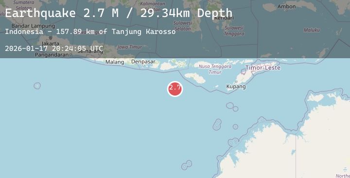
A 2.7 magnitude earthquake struck on South of Sumbawa, Indonesia, at Sat, 17 Jan 2026 20:24:05 GMT. Depth: 29.338598km. Reviewed by BMKG seismologists, this minor quake occurred at a magnitude type of M.
Magnitude
2.7
M
Source
BMKG
Intensity
-
Agency Reports
1 Sources| Source | Magnitude | Depth | Time |
|---|---|---|---|
| BMKGPrimary | 2.7 | 29 km | 2 hours ago |
Earthquake Details
AutomaticEvent IDbmg2026beul
Tsunami PotentialNo
Magnitude TypeM
Nearest Places
- Tanjung Karosso157.7 km
- Tanjung Waibuku158.6 km
- Waibuku158.8 km
- Loko Waikataku158.9 km
- Tanjung Waikataku159.0 km
Comments
Join the discussion about this event.
Latest Earthquakes
4.3Mag
Northern Sumatra, Indonesia
Time2 hours ago
Depth10.00 km
SourceBMKG (Automatic)
2.8Mag
EASTERN TURKEY
Time2 hours ago
Depth7.00 km
SourceAFAD (Automatic)
2.2Mag
Bali Sea
Time2 hours ago
Depth11.21 km
SourceBMKG (Automatic)
2.6Mag
MOLUCCA SEA
Time2 hours ago
Depth18.00 km
SourceBMKG (Automatic)
2.0Mag
NORTHERN ITALY
Time2 hours ago
Depth10.00 km
SourceINGV (Automatic)
Nearby Earthquakes
No significant earthquakes nearby recently.