Earthquake Bali Sea
Sat, 17 Jan 2026 20:05:16 GMT
Time2 hours ago
Location
-7.9529, 117.3583
Depth
11.2 KM
Event Summary
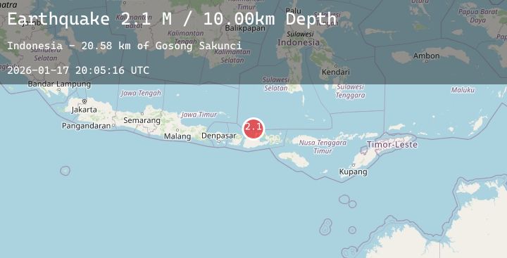
A 2.2 magnitude earthquake struck on Bali Sea, at Sat, 17 Jan 2026 20:05:16 GMT. Depth: 11.207047km. Reviewed by BMKG seismologists, this minor quake occurred at a magnitude type of M.
Magnitude
2.2
M
Source
BMKG
Intensity
-
Agency Reports
1 Sources| Source | Magnitude | Depth | Time |
|---|---|---|---|
| BMKGPrimary | 2.2 | 11 km | 2 hours ago |
Earthquake Details
AutomaticEvent IDbmg2026betv
Tsunami PotentialNo
Magnitude TypeM
Nearest Places
- Desa Bajo Medang21.0 km
- Desa Bugis Medang21.0 km
- Pulau Medang21.2 km
- Tanjung Utara21.6 km
- Gosong Sakunci21.6 km
Comments
Join the discussion about this event.
Latest Earthquakes
2.6Mag
MOLUCCA SEA
Time2 hours ago
Depth18.00 km
SourceBMKG (Automatic)
2.1Mag
NORTHERN ITALY
Time2 hours ago
Depth0.00 km
SourceLDG (Automatic)
2.8Mag
South of Java, Indonesia
Time2 hours ago
Depth12.02 km
SourceBMKG (Automatic)
0.9Mag
3 km NW of The Geysers, CA
Time2 hours ago
Depth3.56 km
SourceUSGS (Automatic)
2.1Mag
Sunda Strait, Indonesia
Time2 hours ago
Depth37.81 km
SourceBMKG (Automatic)
Nearby Earthquakes
2.2Mag
Sumbawa Region, Indonesia
Time3 hours ago
Depth25.48 km
SourceBMKG (Automatic)
2.0Mag
Sumbawa Region, Indonesia
Time5 hours ago
Depth4.33 km
SourceBMKG (Automatic)
2.0Mag
Sumbawa Region, Indonesia
Time6 hours ago
Depth21.43 km
SourceBMKG (Automatic)
2.4Mag
Bali Sea
Time7 hours ago
Depth6.76 km
SourceBMKG (Automatic)
3.1Mag
Bali Sea
Time10 hours ago
Depth10.00 km
SourceBMKG (Automatic)