Earthquake West Papua Region, Indonesia
Wed, 21 Jan 2026 03:55:27 GMT
Time6 days ago
Location
-3.5486, 135.5548
Depth
10.0 KM
Event Summary
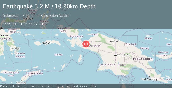
A 3.2 magnitude earthquake struck on West Papua Region, Indonesia, at Wed, 21 Jan 2026 03:55:27 GMT. Depth: 10km. Reviewed by BMKG seismologists, this minor quake occurred at a magnitude type of M.
Magnitude
3.2
M
Source
BMKG
Intensity
-
Agency Reports
1 Sources| Source | Magnitude | Depth | Time |
|---|---|---|---|
| BMKGPrimary | 3.2 | 10 km | 6 days ago |
Earthquake Details
AutomaticEvent IDbmg2026bkvv
Tsunami PotentialNo
Magnitude TypeM
Nearest Places
- Kabupaten Nabire0.9 km
- Topo2.1 km
- Kampung Gamei Jaya4.1 km
- Distrik Uwapa5.1 km
- Kampung Marga Jaya7.0 km
Comments
Join the discussion about this event.
Latest Earthquakes
1.2Mag
13 km WSW of Stanton, Texas
Time14 hours ago
Depth3.46 km
SourceUSGS (Automatic)
2.0Mag
WESTERN TURKEY
Time14 hours ago
Depth7.60 km
SourceKOERI (Automatic)
4.4Mag
Sulawesi, Indonesia
Time15 hours ago
Depth5.00 km
SourceBMKG (Automatic)
1.8Mag
PYRENEES
Time15 hours ago
Depth1.40 km
SourceIGN (Automatic)
2.6Mag
Minahassa Peninsula, Sulawesi
Time15 hours ago
Depth118.00 km
SourceBMKG (Automatic)
Nearby Earthquakes
2.3Mag
West Papua Region, Indonesia
Time6 days ago
Depth10.00 km
SourceBMKG (Automatic)
2.4Mag
West Papua Region, Indonesia
Time5 days ago
Depth7.00 km
SourceBMKG (Automatic)
2.0Mag
West Papua Region, Indonesia
Time1 day ago
Depth10.00 km
SourceBMKG (Automatic)
2.4Mag
West Papua Region, Indonesia
Time3 days ago
Depth14.61 km
SourceBMKG (Automatic)
2.7Mag
West Papua Region, Indonesia
Time3 days ago
Depth35.26 km
SourceBMKG (Automatic)