Earthquake West Papua Region, Indonesia
Sat, 24 Jan 2026 09:26:44 GMT
Time3 days ago
Location
-3.3693, 135.5086
Depth
35.3 KM
Event Summary
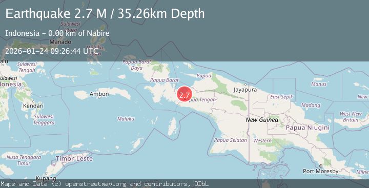
A 2.7 magnitude earthquake struck on West Papua Region, Indonesia, at Sat, 24 Jan 2026 09:26:44 GMT. Depth: 35.257252km. Reviewed by BMKG seismologists, this minor quake occurred at a magnitude type of M.
Magnitude
2.7
M
Source
BMKG
Intensity
-
Agency Reports
1 Sources| Source | Magnitude | Depth | Time |
|---|---|---|---|
| BMKGPrimary | 2.7 | 35 km | 3 days ago |
Earthquake Details
AutomaticEvent IDbmg2026bqtg
Tsunami PotentialNo
Magnitude TypeM
Nearest Places
- Kelurahan Karang Mulia0.2 km
- Central Papua0.8 km
- Kelurahan Oyehe1.3 km
- Nabire Airport1.4 km
- Nabire1.4 km
Comments
Join the discussion about this event.
Latest Earthquakes
1.6Mag
4 km SE of Julian, CA
Time17 minutes ago
Depth10.57 km
SourceUSGS (Automatic)
3.4Mag
BIO-BIO, CHILE
Time19 minutes ago
Depth17.50 km
SourceCSN (Automatic)
2.7Mag
FRANCE
Time25 minutes ago
Depth5.00 km
SourceReNaSS (Automatic)
3.0Mag
South of Bali, Indonesia
Time26 minutes ago
Depth21.74 km
SourceBMKG (Automatic)
3.6Mag
EASTERN TURKEY
Time34 minutes ago
Depth0.00 km
SourceKOERI (Automatic)
Nearby Earthquakes
2.3Mag
West Papua Region, Indonesia
Time2 days ago
Depth40.13 km
SourceBMKG (Automatic)
3.7Mag
West Papua Region, Indonesia
Time9 hours ago
Depth127.10 km
SourceBMKG (Automatic)
3.2Mag
West Papua Region, Indonesia
Time6 days ago
Depth10.00 km
SourceBMKG (Automatic)
2.3Mag
West Papua Region, Indonesia
Time6 days ago
Depth10.00 km
SourceBMKG (Automatic)
3.4Mag
West Papua Region, Indonesia
Time2 hours ago
Depth26.26 km
SourceBMKG (Automatic)