Earthquake Northern Sumatra, Indonesia
Wed, 21 Jan 2026 12:08:22 GMT
Time6 days ago
Location
5.4264, 94.7230
Depth
5.6 KM
Event Summary
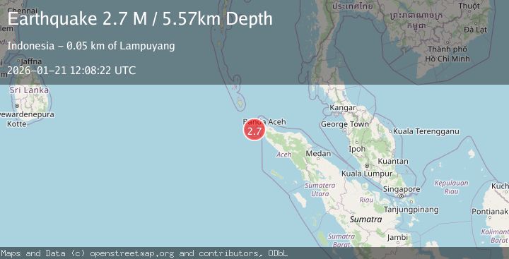
A 2.7 magnitude earthquake struck on Northern Sumatra, Indonesia, at Wed, 21 Jan 2026 12:08:22 GMT. Depth: 5.573133km. Reviewed by BMKG seismologists, this minor quake occurred at a magnitude type of M.
Magnitude
2.7
M
Source
BMKG
Intensity
-
Agency Reports
1 Sources| Source | Magnitude | Depth | Time |
|---|---|---|---|
| BMKGPrimary | 2.7 | 6 km | 6 days ago |
Earthquake Details
AutomaticEvent IDbmg2026blmc
Tsunami PotentialNo
Magnitude TypeM
Nearest Places
- Karang Sindoro39.2 km
- Ujung Kerumbu42.5 km
- Pulau Geupon42.7 km
- Pulau Kelapa44.1 km
- Ujung Serapong44.1 km
Comments
Join the discussion about this event.
Latest Earthquakes
1.2Mag
13 km WSW of Stanton, Texas
Time21 hours ago
Depth3.46 km
SourceUSGS (Automatic)
2.0Mag
WESTERN TURKEY
Time21 hours ago
Depth7.60 km
SourceKOERI (Automatic)
4.4Mag
Sulawesi, Indonesia
Time21 hours ago
Depth5.00 km
SourceBMKG (Automatic)
1.8Mag
PYRENEES
Time22 hours ago
Depth1.40 km
SourceIGN (Automatic)
2.6Mag
Minahassa Peninsula, Sulawesi
Time22 hours ago
Depth118.00 km
SourceBMKG (Automatic)
Nearby Earthquakes
2.4Mag
Northern Sumatra, Indonesia
Time23 hours ago
Depth7.88 km
SourceBMKG (Automatic)
2.1Mag
Northern Sumatra, Indonesia
Time3 days ago
Depth4.51 km
SourceBMKG (Automatic)
2.1Mag
Northern Sumatra, Indonesia
Time5 days ago
Depth8.15 km
SourceBMKG (Automatic)
2.3Mag
Northern Sumatra, Indonesia
Time4 days ago
Depth49.78 km
SourceBMKG (Automatic)
2.9Mag
Northern Sumatra, Indonesia
Time2 days ago
Depth30.75 km
SourceBMKG (Automatic)