Earthquake Northern Sumatra, Indonesia
Mon, 26 Jan 2026 19:35:27 GMT
Time18 hours ago
Location
5.2975, 95.7077
Depth
7.9 KM
Event Summary
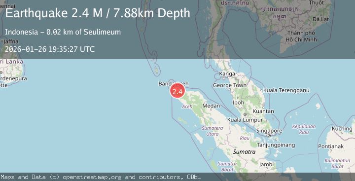
A 2.4 magnitude earthquake struck on Northern Sumatra, Indonesia, at Mon, 26 Jan 2026 19:35:27 GMT. Depth: 7.884398km. Reviewed by BMKG seismologists, this minor quake occurred at a magnitude type of M.
Magnitude
2.4
M
Source
BMKG
Intensity
-
Agency Reports
1 Sources| Source | Magnitude | Depth | Time |
|---|---|---|---|
| BMKGPrimary | 2.4 | 8 km | 18 hours ago |
Earthquake Details
AutomaticEvent IDbmg2026bvej
Tsunami PotentialNo
Magnitude TypeM
Nearest Places
- Panca1.8 km
- Cot Gle Bateekacang1.9 km
- Krueng Aneu2.0 km
- Krueng Panca2.1 km
- Krueng Paipoh2.2 km
Comments
Join the discussion about this event.
Latest Earthquakes
2.5Mag
OFFSHORE TARAPACA, CHILE
Time18 hours ago
Depth32.60 km
SourceCSN (Automatic)
1.8Mag
18 km WSW of Johannesburg, CA
Time18 hours ago
Depth8.04 km
SourceUSGS (Automatic)
2.9Mag
CYPRUS REGION
Time18 hours ago
Depth31.20 km
SourceKOERI (Automatic)
1.8Mag
13 km SE of Pāhala, Hawaii
Time19 hours ago
Depth28.46 km
SourceUSGS (Automatic)
1.4Mag
2 km SE of Green Valley, CA
Time19 hours ago
Depth8.43 km
SourceUSGS (Automatic)
Nearby Earthquakes
2.1Mag
Northern Sumatra, Indonesia
Time3 days ago
Depth4.51 km
SourceBMKG (Automatic)
2.1Mag
Northern Sumatra, Indonesia
Time4 days ago
Depth8.15 km
SourceBMKG (Automatic)
2.7Mag
Northern Sumatra, Indonesia
Time6 days ago
Depth5.57 km
SourceBMKG (Automatic)
2.6Mag
Northern Sumatra, Indonesia
Time4 days ago
Depth10.00 km
SourceBMKG (Automatic)
2.9Mag
Northern Sumatra, Indonesia
Time2 days ago
Depth30.75 km
SourceBMKG (Automatic)