Earthquake Minahassa Peninsula, Sulawesi
Thu, 22 Jan 2026 04:53:05 GMT
Time5 days ago
Location
0.4094, 121.6364
Depth
76.6 KM
Event Summary
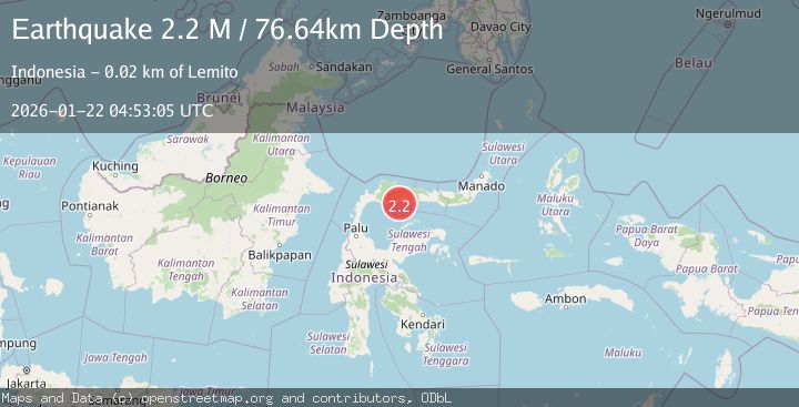
A 2.2 magnitude earthquake struck on Minahassa Peninsula, Sulawesi, at Thu, 22 Jan 2026 04:53:05 GMT. Depth: 76.635071km. Reviewed by BMKG seismologists, this minor quake occurred at a magnitude type of M.
Magnitude
2.2
M
Source
BMKG
Intensity
-
Agency Reports
1 Sources| Source | Magnitude | Depth | Time |
|---|---|---|---|
| BMKGPrimary | 2.2 | 77 km | 5 days ago |
Earthquake Details
AutomaticEvent IDbmg2026bmtg
Tsunami PotentialNo
Magnitude TypeM
Nearest Places
- Lito Walea6.0 km
- Lito Samaunu8.3 km
- Lito Huliahedaa8.3 km
- Lito KeaKease8.9 km
- Lito Para Para9.2 km
Comments
Join the discussion about this event.
Latest Earthquakes
1.4Mag
41 km NW of Toyah, Texas
Time3 minutes ago
Depth2.74 km
SourceUSGS (Automatic)
2.0Mag
Sumbawa Region, Indonesia
Time7 minutes ago
Depth107.77 km
SourceBMKG (Automatic)
1.7Mag
26 km WNW of Ludlow, CA
Time11 minutes ago
Depth1.36 km
SourceUSGS (Automatic)
3.1Mag
HAITI REGION
Time14 minutes ago
Depth7.00 km
SourceAYIT (Automatic)
2.6Mag
PUERTO RICO
Time20 minutes ago
Depth16.10 km
SourcePR (Automatic)
Nearby Earthquakes
2.4Mag
Minahassa Peninsula, Sulawesi
Time6 days ago
Depth60.37 km
SourceBMKG (Automatic)
2.7Mag
MINAHASA, SULAWESI, INDONESIA
Time1 day ago
Depth31.00 km
SourceBMKG (Automatic)
3.1Mag
Minahassa Peninsula, Sulawesi
Time2 days ago
Depth38.15 km
SourceBMKG (Automatic)
2.1Mag
Minahassa Peninsula, Sulawesi
Time2 days ago
Depth99.65 km
SourceBMKG (Automatic)
2.0Mag
Minahassa Peninsula, Sulawesi
Time6 days ago
Depth2.50 km
SourceBMKG (Automatic)