Earthquake West Papua, Indonesia
Thu, 22 Jan 2026 10:03:10 GMT
Time1 week ago
Location
-2.7019, 137.8391
Depth
79.5 KM
Event Summary
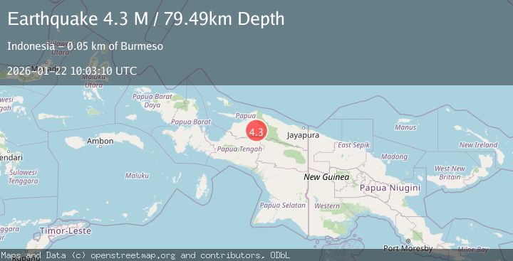
A 4.3 magnitude earthquake struck on West Papua, Indonesia, at Thu, 22 Jan 2026 10:03:10 GMT. Depth: 79.485786km. Reviewed by BMKG seismologists, this light quake occurred at a magnitude type of M.
Magnitude
4.3
M
Source
BMKG
Intensity
-
Agency Reports
1 Sources| Source | Magnitude | Depth | Time |
|---|---|---|---|
| BMKGPrimary | 4.3 | 79 km | 1 week ago |
Earthquake Details
AutomaticEvent IDbmg2026bndm
Tsunami PotentialNo
Magnitude TypeM
Nearest Places
- Kampung Noyadi2.7 km
- Distrik Mamberamo Tengah Timur9.7 km
- Kampung Biri14.2 km
- Kampung Obogoi16.1 km
- Kampung Kustra18.6 km
Comments
Join the discussion about this event.
Latest Earthquakes
1.5Mag
19 km NNE of Indio, CA
Time20 minutes ago
Depth5.02 km
SourceUSGS (Automatic)
3.4Mag
Southern Sumatra, Indonesia
Time27 minutes ago
Depth48.59 km
SourceBMKG (Automatic)
3.2Mag
COQUIMBO, CHILE
Time41 minutes ago
Depth16.10 km
SourceCSN (Automatic)
3.9Mag
Tanimbar Islands Region, Indonesia
Time48 minutes ago
Depth10.00 km
SourceBMKG (Automatic)
1.2Mag
WESTERN TURKEY
Time57 minutes ago
Depth7.00 km
SourceAFAD (Automatic)
Nearby Earthquakes
2.5Mag
PAPUA, INDONESIA
Time5 hours ago
Depth10.00 km
SourceBMKG (Automatic)
2.8Mag
West Papua Region, Indonesia
Time3 hours ago
Depth19.31 km
SourceBMKG (Automatic)
3.2Mag
PAPUA, INDONESIA
Time4 days ago
Depth30.00 km
SourceBMKG (Automatic)
2.8Mag
PAPUA, INDONESIA
Time1 week ago
Depth47.00 km
SourceBMKG (Automatic)
4.4Mag
West Papua, Indonesia
Time1 week ago
Depth23.70 km
SourceBMKG (Automatic)