Earthquake Flores Region, Indonesia
Thu, 22 Jan 2026 16:59:15 GMT
Time4 days ago
Location
-8.4400, 119.7836
Depth
160.9 KM
Event Summary
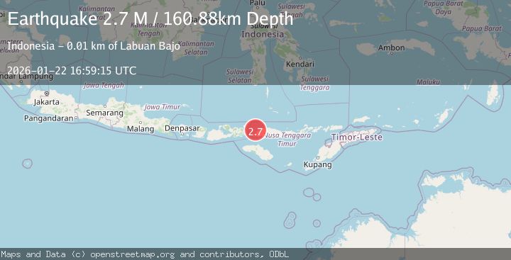
A 2.7 magnitude earthquake struck on Flores Region, Indonesia, at Thu, 22 Jan 2026 16:59:15 GMT. Depth: 160.882202km. Reviewed by BMKG seismologists, this minor quake occurred at a magnitude type of M.
Magnitude
2.7
M
Source
BMKG
Intensity
-
Agency Reports
1 Sources| Source | Magnitude | Depth | Time |
|---|---|---|---|
| BMKGPrimary | 2.7 | 161 km | 4 days ago |
Earthquake Details
AutomaticEvent IDbmg2026bnre
Tsunami PotentialNo
Magnitude TypeM
Nearest Places
- Sabolan-besar6.1 km
- Sabolan-kecil6.2 km
- Kanawa Island6.6 km
- Pulau Tobolon7.5 km
- Toro Waturamba8.4 km
Comments
Join the discussion about this event.
Latest Earthquakes
1.4Mag
41 km NW of Toyah, Texas
Time3 minutes ago
Depth2.74 km
SourceUSGS (Automatic)
2.0Mag
Sumbawa Region, Indonesia
Time8 minutes ago
Depth107.77 km
SourceBMKG (Automatic)
1.7Mag
26 km WNW of Ludlow, CA
Time12 minutes ago
Depth1.36 km
SourceUSGS (Automatic)
3.1Mag
HAITI REGION
Time14 minutes ago
Depth7.00 km
SourceAYIT (Automatic)
2.6Mag
PUERTO RICO
Time20 minutes ago
Depth16.10 km
SourcePR (Automatic)
Nearby Earthquakes
2.6Mag
FLORES REGION, INDONESIA
Time21 hours ago
Depth153.00 km
SourceBMKG (Automatic)
2.5Mag
Flores Region, Indonesia
Time1 day ago
Depth179.70 km
SourceBMKG (Automatic)
2.8Mag
Flores Region, Indonesia
Time4 days ago
Depth174.48 km
SourceBMKG (Automatic)
2.5Mag
Flores Region, Indonesia
Time6 days ago
Depth147.07 km
SourceBMKG (Automatic)
2.7Mag
Flores Region, Indonesia
Time1 day ago
Depth302.95 km
SourceBMKG (Automatic)