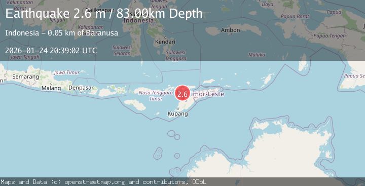
Earthquake Timor Region
Sat, 24 Jan 2026 20:39:02 GMT
Time2 days ago
Location
-8.7843, 124.0307
Depth
83.2 KM
Event Summary
A 2.6 magnitude earthquake struck on Timor Region, at Sat, 24 Jan 2026 20:39:02 GMT. Depth: 83.163292km. Reviewed by BMKG seismologists, this minor quake occurred at a magnitude type of M.
Magnitude
2.6
M
Source
BMKG
Intensity
-
Agency Reports
1 Sources| Source | Magnitude | Depth | Time |
|---|---|---|---|
| BMKGPrimary | 2.6 | 83 km | 2 days ago |
Earthquake Details
AutomaticEvent IDbmg2026brpl
Tsunami PotentialNo
Magnitude TypeM
Nearest Places
- Tanjung Boda26.1 km
- Tanjung Delaki26.3 km
- Kukka Delaaki28.3 km
- Delaki28.7 km
- Tanjung Aliadung29.3 km
Comments
Join the discussion about this event.
Latest Earthquakes
2.6Mag
Minahassa Peninsula, Sulawesi
Time15 hours ago
Depth118.00 km
SourceBMKG (Automatic)
2.8Mag
South of Bali, Indonesia
Time15 hours ago
Depth10.00 km
SourceBMKG (Automatic)
1.7Mag
31 km SE of Denali National Park, Alaska
Time15 hours ago
Depth0.60 km
SourceUSGS (Automatic)
2.2Mag
WESTERN TURKEY
Time15 hours ago
Depth14.90 km
SourceKOERI (Automatic)
2.2Mag
13 km NW of Ferry, Alaska
Time15 hours ago
Depth139.50 km
SourceUSGS (Automatic)
Nearby Earthquakes
3.1Mag
Flores Region, Indonesia
Time3 days ago
Depth70.54 km
SourceBMKG (Automatic)
2.7Mag
Flores Region, Indonesia
Time1 day ago
Depth6.99 km
SourceBMKG (Automatic)
3.2Mag
Flores Region, Indonesia
Time6 days ago
Depth82.44 km
SourceBMKG (Automatic)
2.5Mag
Flores Region, Indonesia
Time6 days ago
Depth51.05 km
SourceBMKG (Automatic)
3.3Mag
Timor Region
Time1 day ago
Depth47.49 km
SourceBMKG (Automatic)