Earthquake Minahassa Peninsula, Sulawesi
Mon, 26 Jan 2026 12:52:36 GMT
Time19 hours ago
Location
-0.7335, 122.8005
Depth
2.2 KM
Event Summary
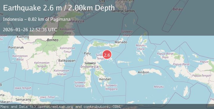
A 2.6 magnitude earthquake struck on Minahassa Peninsula, Sulawesi, at Mon, 26 Jan 2026 12:52:36 GMT. Depth: 2.181995km. Reviewed by BMKG seismologists, this minor quake occurred at a magnitude type of M.
Magnitude
2.6
M
Source
BMKG
Intensity
-
Agency Reports
1 Sources| Source | Magnitude | Depth | Time |
|---|---|---|---|
| BMKGPrimary | 2.6 | 2 km | 19 hours ago |
Earthquake Details
AutomaticEvent IDbmg2026burb
Tsunami PotentialNo
Magnitude TypeM
Nearest Places
- Teluk Poh1.7 km
- Teluk Malandang3.4 km
- Huhak5.3 km
- Desa Salipi5.9 km
- Pegunungan Bangkilubajak6.0 km
Comments
Join the discussion about this event.
Latest Earthquakes
2.2Mag
Sumbawa Region, Indonesia
Time20 hours ago
Depth72.67 km
SourceBMKG (Automatic)
3.3Mag
MYANMAR
Time20 hours ago
Depth10.00 km
SourceTSB (Automatic)
1.2Mag
4 km ESE of Yorba Linda, CA
Time20 hours ago
Depth10.06 km
SourceUSGS (Automatic)
3.6Mag
South of Java, Indonesia
Time20 hours ago
Depth27.60 km
SourceBMKG (Automatic)
4.8Mag
KURIL ISLANDS
Time20 hours ago
Depth94.00 km
SourceEMSC (Automatic)
Nearby Earthquakes
2.7Mag
Minahassa Peninsula, Sulawesi
Time2 days ago
Depth10.00 km
SourceBMKG (Automatic)
2.9Mag
Minahassa Peninsula, Sulawesi
Time5 days ago
Depth10.00 km
SourceBMKG (Automatic)
2.6Mag
Minahassa Peninsula, Sulawesi
Time2 days ago
Depth59.44 km
SourceBMKG (Automatic)
2.4Mag
Minahassa Peninsula, Sulawesi
Time4 days ago
Depth79.94 km
SourceBMKG (Automatic)
3.9Mag
Minahassa Peninsula, Sulawesi
Time5 days ago
Depth29.89 km
SourceBMKG (Automatic)