Earthquake West Papua Region, Indonesia
Mon, 26 Jan 2026 13:44:12 GMT
Time20 hours ago
Location
-3.2079, 135.7914
Depth
10.0 KM
Event Summary
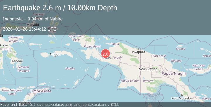
A 2.6 magnitude earthquake struck on West Papua Region, Indonesia, at Mon, 26 Jan 2026 13:44:12 GMT. Depth: 10km. Reviewed by BMKG seismologists, this minor quake occurred at a magnitude type of M.
Magnitude
2.6
M
Source
BMKG
Intensity
-
Agency Reports
1 Sources| Source | Magnitude | Depth | Time |
|---|---|---|---|
| BMKGPrimary | 2.6 | 10 km | 20 hours ago |
Earthquake Details
AutomaticEvent IDbmg2026bust
Tsunami PotentialNo
Magnitude TypeM
Nearest Places
- Kampung Maidei1.3 km
- Distrik Makimi4.4 km
- Kampung Lagari Jaya6.3 km
- Kampung Manunggal Jaya6.8 km
- Kampung Biha8.7 km
Comments
Join the discussion about this event.
Latest Earthquakes
1.2Mag
3 km SE of Pacifica, CA
Time20 hours ago
Depth9.53 km
SourceUSGS (Automatic)
3.5Mag
Southern Sumatra, Indonesia
Time20 hours ago
Depth46.40 km
SourceBMKG (Automatic)
0.7Mag
6 km WNW of Cobb, CA
Time21 hours ago
Depth1.97 km
SourceUSGS (Automatic)
1.8Mag
13 km SSE of Volcano, Hawaii
Time21 hours ago
Depth2.87 km
SourceUSGS (Automatic)
3.0Mag
MYANMAR
Time21 hours ago
Depth10.00 km
SourceTSB (Automatic)
Nearby Earthquakes
3.6Mag
West Papua Region, Indonesia
Time6 days ago
Depth10.00 km
SourceBMKG (Automatic)
2.7Mag
West Papua Region, Indonesia
Time3 days ago
Depth35.26 km
SourceBMKG (Automatic)
2.3Mag
West Papua Region, Indonesia
Time2 days ago
Depth40.13 km
SourceBMKG (Automatic)
3.0Mag
PAPUA, INDONESIA
Time2 days ago
Depth10.00 km
SourceBMKG (Automatic)
2.3Mag
West Papua Region, Indonesia
Time6 days ago
Depth10.00 km
SourceBMKG (Automatic)