Earthquake Northern Sumatra, Indonesia
Tue, 27 Jan 2026 05:50:48 GMT
Time6 hours ago
Location
4.7454, 96.7591
Depth
6.5 KM
Event Summary
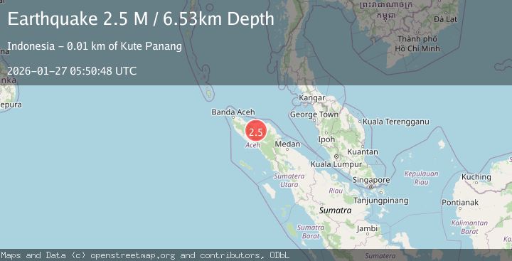
A 2.5 magnitude earthquake struck on Northern Sumatra, Indonesia, at Tue, 27 Jan 2026 05:50:48 GMT. Depth: 6.52844km. Reviewed by BMKG seismologists, this minor quake occurred at a magnitude type of M.
Magnitude
2.5
M
Source
BMKG
Intensity
-
Agency Reports
1 Sources| Source | Magnitude | Depth | Time |
|---|---|---|---|
| BMKGPrimary | 2.5 | 7 km | 6 hours ago |
Earthquake Details
AutomaticEvent IDbmg2026bvyq
Tsunami PotentialNo
Magnitude TypeM
Nearest Places
- Kilometer Tujuh Puluh Enam0.4 km
- Kampung Baru Tujuh Puluh Enam0.6 km
- Blok C0.9 km
- Gampong Lampahan Barat1.2 km
- Gampong Bumi Ayu1.3 km
Comments
Join the discussion about this event.
Latest Earthquakes
1.2Mag
10 km WSW of Stanton, Texas
Time6 hours ago
Depth3.73 km
SourceUSGS (Automatic)
1.8Mag
37 km W of Clear, Alaska
Time6 hours ago
Depth1.40 km
SourceUSGS (Automatic)
1.8Mag
52 km NNE of Chenega, Alaska
Time7 hours ago
Depth27.90 km
SourceUSGS (Automatic)
1.0Mag
6 km WSW of Anza, CA
Time7 hours ago
Depth4.44 km
SourceUSGS (Automatic)
1.5Mag
36 km WSW of Tonsina, Alaska
Time7 hours ago
Depth41.60 km
SourceUSGS (Automatic)
Nearby Earthquakes
2.6Mag
Northern Sumatra, Indonesia
Time4 days ago
Depth10.00 km
SourceBMKG (Automatic)
2.1Mag
Northern Sumatra, Indonesia
Time4 days ago
Depth8.15 km
SourceBMKG (Automatic)
2.1Mag
Northern Sumatra, Indonesia
Time3 days ago
Depth4.51 km
SourceBMKG (Automatic)
2.2Mag
Northern Sumatra, Indonesia
Time5 days ago
Depth1.65 km
SourceBMKG (Automatic)
2.4Mag
Northern Sumatra, Indonesia
Time2 days ago
Depth5.00 km
SourceBMKG (Automatic)